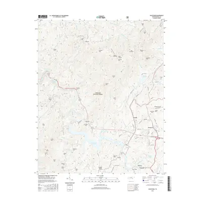
2016 Map of Ducktown
USGS Topo · Published 2016About this map
Ducktown and the surrounding Copper Basin define this industrial and mountain landscape within the Cherokee National Forest. The map centers on the intensive mining history of the region, evidenced by the F-Eleven Tailings Pond and the extensive water management systems like the Ocoee Flume and Ocoee Number Three Lake. These engineering features follow the course of the Ocoee River as it winds through high ridges including Chestnut Ridge and Licklog Ridge.
Find a feature on this map
109 named features on this map. Tap any name to fly to it.
Don’t see what you’re looking for? This feature index may not catch every label — zoom into the map to look around manually.
Map Details
Editions of this 2016 Ducktown Map
This is the sole edition of this map. No revisions or reprints were ever made.
Other maps of this area

1886 · Dalton
USGS Topo · 1:125,000

1886 · Cleveland
USGS Topo · 1:125,000

1888 · Ellijay
USGS Topo · 1:125,000

1892 · Cleveland
USGS Topo · 1:125,000

1892 · Ellijay
USGS Topo · 1:125,000

1892 · Dalton
USGS Topo · 1:125,000

1893 · Murphy
USGS Topo · 1:125,000

1895 · Cleveland
USGS Topo · 1:125,000

1897 · Dalton
USGS Topo · 1:125,000

1898 · Ellijay
USGS Topo · 1:125,000