Loading...
Loading map...2022 Map of Ducktown
USGS Topo · Published 2022About this map
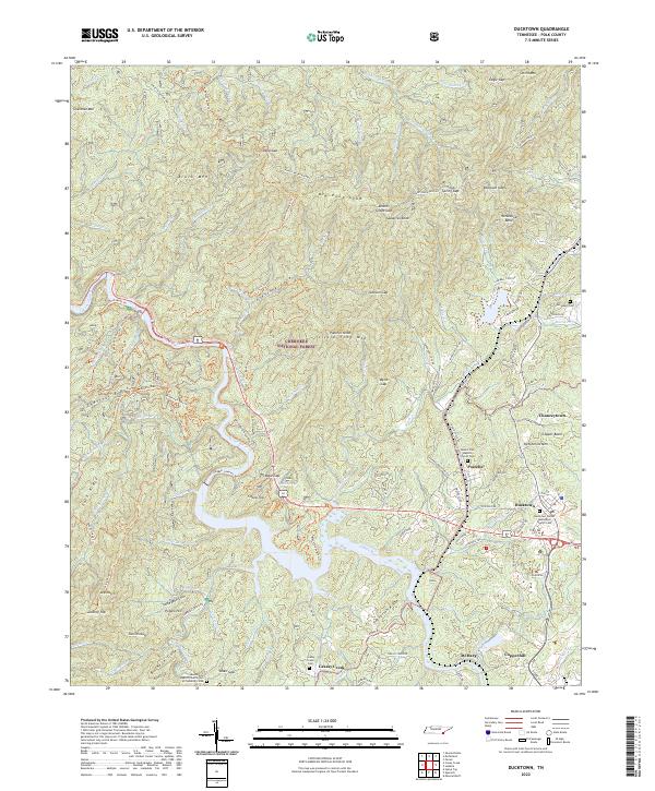
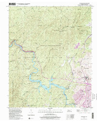
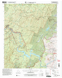
Ducktown and Copperhill anchor this survey of the Copper Basin, where the industrial and natural worlds of Polk County intersect. The Ocoee River snakes through the southern landscape, accompanied by the engineering of the Ocoee Flume. This area, deeply tied to the history of mining and metallurgy, is defined by its dramatic topography, featuring names like Ketchersid Mtn and Potato Hill.
Find a feature on this map
138 named features on this map. Tap any name to fly to it.
Don’t see what you’re looking for? This feature index may not catch every label — zoom into the map to look around manually.
Map Details
Date Portrayed2022
Date Published2022
PublisherU.S. Geological Survey
Map TypeTopographic
Scale1:24000
Physical Dimensions24 x 29 inches
Editions of this 2022 Ducktown Map
This is the sole edition of this map. No revisions or reprints were ever made.
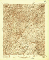
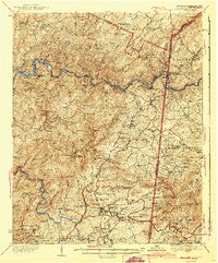
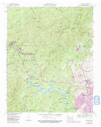
Historical Maps of Postelle Through Time
6 maps found
Featured Locations
Source Details
SourceU.S. Geological Survey
CopyrightPublic Domain