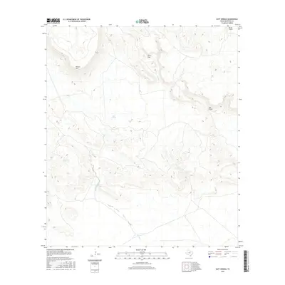
2016 Map of Duff Springs
USGS Topo · Published 2016About this map
Duff Springs and other vital water sources define this high-desert reach of Brewster County. The landscape is dominated by massive volcanic features like Mitchell Mesa and deep incisions such as Dark Canyon and Torvea Canyon. Historical water management and access are evident through named points like Davenport Spring and Cottonwood Spring, which have long served as landmarks in this arid environment. The drainage network of Duff Cr and Goat Cr reveals the natural flow of the terrain toward a feature simply labeled The Ditch. This 2016 survey provides a precise look at these topographical features and their relationship to ephemeral waterways like Walnut Draw, essential for understanding the ranching and natural history of the Trans-Pecos region.
Find a feature on this map
11 named features on this map. Tap any name to fly to it.
Don’t see what you’re looking for? This feature index may not catch every label — zoom into the map to look around manually.
Map Details
Editions of this 2016 Duff Springs Map
This is the sole edition of this map. No revisions or reprints were ever made.
Other maps of this area

1895 · Alpine
USGS Topo · 1:125,000

1917 · Buck Hill
USGS Topo · 1:62,500

1918 · Buck Hill
USGS Topo · 1:62,500

1918 · Jordan Gap
USGS Topo · 1:62,500

1925 · Buck Hill
USGS Topo · 1:62,500

1930 · Jordan Gap
USGS Topo · 1:62,500

1954 · Fort Stockton
USGS Topo · 1:250,000

1958 · Fort Stockton
USGS Topo · 1:250,000

1959 · Emory Peak
USGS Topo · 1:250,000

1965 · Emory Peak
USGS Topo · 1:250,000