2022 Map of Duffield
USGS Topo · Published 2022About this map
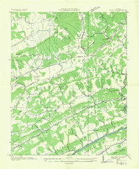
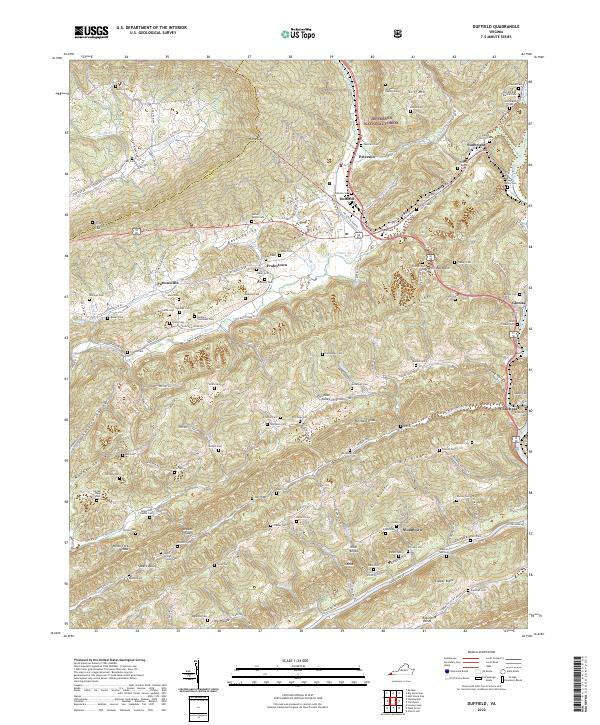
Jefferson National Forest dominates the northern reaches of this Scott County landscape, where the ridges of Cliff Mtn and Stone Ridge rise above the valley floor. The settlement of Duffield serves as a central hub, situated near the passage of the N Fork Clinch River and the industrial activity near Industrial Park Rd. The terrain is defined by a series of parallel ridges and valleys, including Purchase Ridge and Back Valley, which have historically constrained and directed movement through the region.
Find a feature on this map
135 named features on this map. Tap any name to fly to it.
Don’t see what you’re looking for? This feature index may not catch every label — zoom into the map to look around manually.
Map Details
Editions of this 2022 Duffield Map
This is the sole edition of this map. No revisions or reprints were ever made.
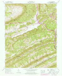
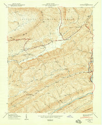
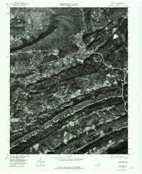
Historical Maps of Pattonsville Through Time
5 maps found