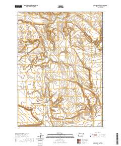
2020 Map of Duhaime Flat East
USGS Topo · Published 2020About this map
Catlow Valley occupies the southern reaches of this high desert terrain in southeastern Oregon, where water management is central to the land's utility. The landscape is punctuated by essential catchments such as Meadow Flat Reservoir and Maes Reservoir, which serve the expansive flats. These broad, open expanses—including Meadow Flat, Tucke Flat, and Duhaime Flat—characterize a region where topography is subtle but vital for movement and livestock. Transportation is defined by long, singular tracks like Clover Swail Rd and Duhaime Rd, which navigate between landmarks such as Rock Creek Point and the low depression of Sand Hollow. This 2020 survey provides a precise modern record of these remote basin features and named grazing fields like Desert Field.
Find a feature on this map
15 named features on this map. Tap any name to fly to it.
Don’t see what you’re looking for? This feature index may not catch every label — zoom into the map to look around manually.
Map Details
Editions of this 2020 Duhaime Flat East Map
This is the sole edition of this map. No revisions or reprints were ever made.
Other maps of this area

1955 · Adel
USGS Topo · 1:250,000

1957 · Adel
USGS Topo · 1:250,000

1958 · Adel
USGS Topo · 1:250,000

1962 · Adel
USGS Topo · 1:250,000

1971 · Duhaime Flat East
USGS Topo · 1:24,000

1971 · Clover Swale
USGS Topo · 1:24,000
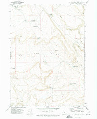
1971 · Keg Sprs Valley East
USGS Topo · 1:24,000

1971 · Butler Hill
USGS Topo · 1:24,000
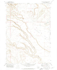
1971 · Duhaime Flat West
USGS Topo · 1:24,000
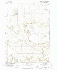
1971 · Keg Sprs Valley West
USGS Topo · 1:24,000