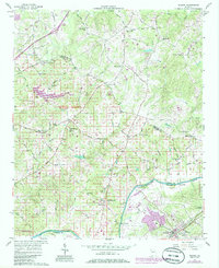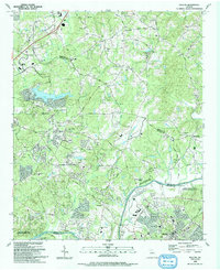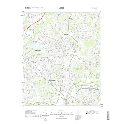
1999 Map of Duluth
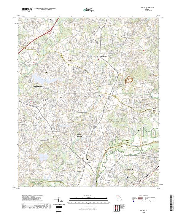
USGS Topo · Published 2003About this map
The Chattahoochee River winds through the southeastern corner of this landscape, marking the transition between Fulton and Gwinnett counties. By the late 1990s, this area reflects significant suburban expansion, where established centers like Alpharetta and Duluth are bridged by residential developments and golf courses. The map captures the suburban transformation of historic rural crossroads such as Ocee and Shake Rag, while the large expanse of Lake Windward dominates the western portion of the sheet.
Find a feature on this map
36 named features on this map. Tap any name to fly to it.
Don’t see what you’re looking for? This feature index may not catch every label — zoom into the map to look around manually.
Map Details
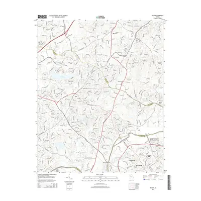
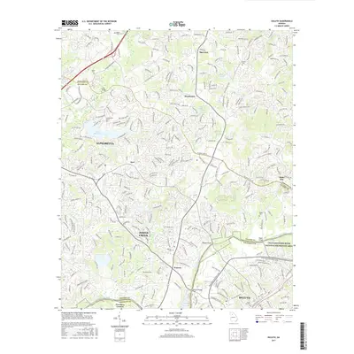
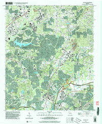
Editions of this 1999 Duluth Map
This is the sole edition of this map. No revisions or reprints were ever made.
Historical Maps of Johns Creek Through Time
8 maps found