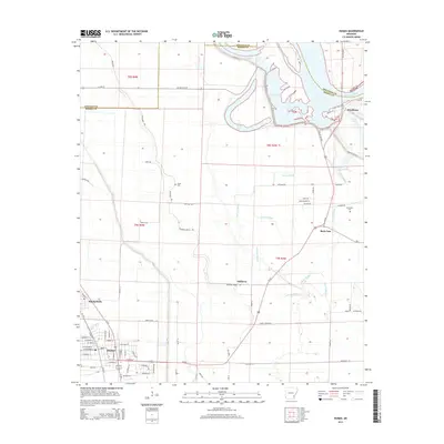
2014 Map of Dumas
USGS Topo · Published 2014About this map
The city of Dumas serves as the focal point of this Delta landscape, where a grid of rural roads and drainage networks support the agricultural life of Desha County. To the north, the winding course of the Arkansas River is mirrored by remnant oxbows and wetlands including Silver Lake and Mud Lake. These water bodies, along with extensive waterways like Oak Log Bayou and Oakwood Bayou, define the low-lying terrain between the small settlements of Mitchellville and Pendleton.
Find a feature on this map
77 named features on this map. Tap any name to fly to it.
Don’t see what you’re looking for? This feature index may not catch every label — zoom into the map to look around manually.
Map Details
Editions of this 2014 Dumas Map
This is the sole edition of this map. No revisions or reprints were ever made.
Other maps of this area

1935 · Varner
USGS Topo · 1:62,500

1935 · Rotan
USGS Topo · 1:62,500

1935 · Red Fork
USGS Topo · 1:62,500

1935 · Gillett
USGS Topo · 1:62,500

1948 · Helena
USGS Topo · 1:250,000

1950 · Helena
USGS Topo · 1:250,000

1953 · Greenwood
USGS Topo · 1:250,000

1955 · Helena
USGS Topo · 1:250,000

1956 · Greenwood
USGS Topo · 1:250,000

1959 · Helena
USGS Topo · 1:250,000