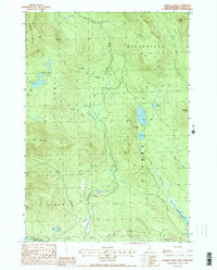
1988 Map of Dummer Ponds
USGS Topo · Published 1988About this map
Paris serves as a small focal point in this high-country landscape of Coos County, located where the Phillips Brook and Brooks Brook converge. The terrain is defined by the steep slopes of Whitcomb Mountain and Long Mountain, which create a complex drainage system feeding into the Upper Ammonoosuc R at the southern edge of the sheet. This 1980s provisional survey highlights a region dominated by timberland and seasonal water bodies, including the isolated Trio Ponds and the larger Dummer Ponds.
Find a feature on this map
27 named features on this map. Tap any name to fly to it.
Don’t see what you’re looking for? This feature index may not catch every label — zoom into the map to look around manually.
Map Details
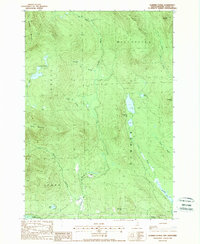
Editions of this 1988 Dummer Ponds Map
2 editions found
Other maps of this area

1930 · Milan
USGS Topo · 1:62,500

1930 · Percy
USGS Topo · 1:62,500

1930 · Dixville
USGS Topo · 1:62,500

1930 · Errol
USGS Topo · 1:62,500

1933 · Dixville
USGS Topo · 1:62,500

1933 · Milan
USGS Topo · 1:62,500

1934 · Percy
USGS Topo · 1:62,500

1934 · Dixville
USGS Topo · 1:62,500

1934 · Errol
USGS Topo · 1:62,500

1934 · Milan
USGS Topo · 1:62,500