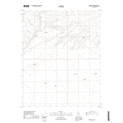
2018 Map of Dumont Dunes
USGS Topo · Published 2018About this map
The Amargosa River cuts through the northern reach of this desert landscape, carving the Amargosa Canyon as it flows south toward the Silurian Valley. This 2018 survey captures a terrain defined by active aeolian processes, most notably at the Dumont Dunes and the eastern Valjean Dunes. These shifting sands sit between the Sperry Hills and Dumont Hills, illustrating the complex geological boundaries of the northern Mojave Desert.
Find a feature on this map
14 named features on this map. Tap any name to fly to it.
Don’t see what you’re looking for? This feature index may not catch every label — zoom into the map to look around manually.
Map Details
Editions of this 2018 Dumont Dunes Map
This is the sole edition of this map. No revisions or reprints were ever made.
Other maps of this area

1933 · Avawatz Mountains
USGS Topo · 1:250,000

1947 · Trona
USGS Topo · 1:250,000

1948 · Trona
USGS Topo · 1:250,000

1948 · Avawatz Pass
USGS Topo · 1:62,500

1950 · Tecopa
USGS Topo · 1:62,500

1951 · Avawatz Pass
USGS Topo · 1:62,500

1951 · Tecopa
USGS Topo · 1:62,500

1951 · Shoshone
USGS Topo · 1:62,500

1953 · Trona
USGS Topo · 1:250,000

1956 · Silurian Hills
USGS Topo · 1:62,500