
1956 Map of Silurian Hills
USGS Topo · Published 1957About this map
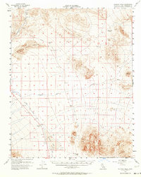
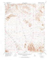
Sperry (Site) and Dumont (Site) anchor the northern reaches of this mid-century Mojave landscape, marking locations along an Old Railroad Grade that once connected these desert outposts. The terrain is defined by the shifting sands of the Dumont Dunes and the dramatic rise of the Dumont Hills and Silurian Hills. This map documents a transitional period when several former settlements, including Valjean (Site) and Riggs (Site), had already faded to sites, though Renoville remained a named point of interest. Resource extraction is evident through labeled Talc and Shaft markers near the ephemeral Selurian Lake. Hydrological features like the Amargosa River, Rabbit Holes Spring, and Salt Creek provide a blueprint of the water sources that dictated survival and industry in this arid environment.
Find a feature on this map
25 named features on this map. Tap any name to fly to it.
Don’t see what you’re looking for? This feature index may not catch every label — zoom into the map to look around manually.
Map Details
Editions of this 1956 Silurian Hills Map
3 editions found
Other maps of this area

1910 · Ivanpah
USGS Topo · 1:250,000

1912 · Ivanpah
USGS Topo · 1:250,000

1933 · Avawatz Mountains
USGS Topo · 1:250,000

1942 · Ivanpah
USGS Topo · 1:250,000

1947 · Trona
USGS Topo · 1:250,000

1947 · Kingman
USGS Topo · 1:250,000

1948 · Kingman
USGS Topo · 1:250,000

1948 · Red Pass Lake
USGS Topo · 1:62,500

1948 · Trona
USGS Topo · 1:250,000

1948 · Avawatz Pass
USGS Topo · 1:62,500