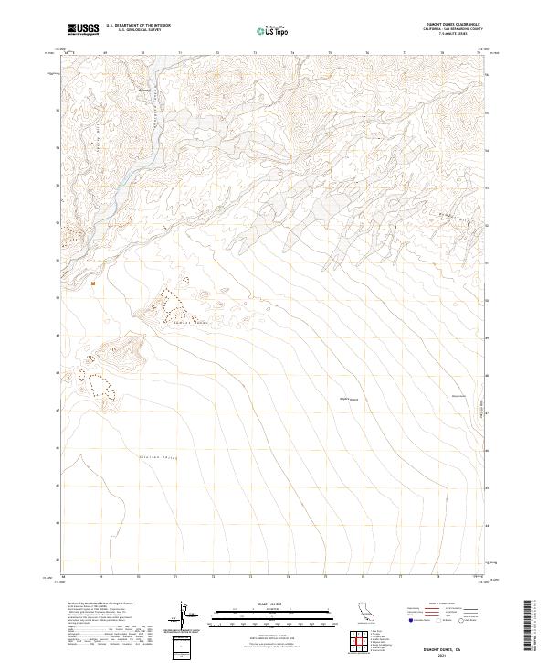
2021 Map of Dumont Dunes
USGS Topo · Published 2021About this map
Sperry sits at the northern edge of this arid landscape, positioned near the dramatic descent of the Amargosa River as it carves through Amargosa Canyon. The terrain is defined by its shifting sands and ancient geological formations, where the extensive Dumont Dunes and Valjean Dunes dominate the topography. These massive dune systems are framed by the Sperry Hills to the northwest and the Dumont Hills to the northeast, illustrating the complex wind-driven deposition patterns of the northern Mojave Desert. To the south, the landscape opens into the broad expanse of the Silurian Valley, flanked by the Valjean Hills. This survey provides a precise modern record of the drainage patterns and land partitions across the California desert, capturing the stark geographic relationship between the river corridor and the surrounding basins.
Find a feature on this map
14 named features on this map. Tap any name to fly to it.
Don’t see what you’re looking for? This feature index may not catch every label — zoom into the map to look around manually.
Map Details
Editions of this 2021 Dumont Dunes Map
This is the sole edition of this map. No revisions or reprints were ever made.
Other maps of this area

1933 · Avawatz Mountains
USGS Topo · 1:250,000

1947 · Trona
USGS Topo · 1:250,000

1948 · Trona
USGS Topo · 1:250,000

1948 · Avawatz Pass
USGS Topo · 1:62,500

1950 · Tecopa
USGS Topo · 1:62,500

1951 · Avawatz Pass
USGS Topo · 1:62,500

1951 · Tecopa
USGS Topo · 1:62,500

1951 · Shoshone
USGS Topo · 1:62,500

1953 · Trona
USGS Topo · 1:250,000

1956 · Silurian Hills
USGS Topo · 1:62,500