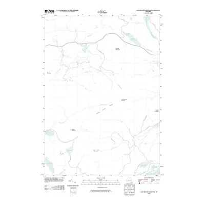
2010 Map of Dun Brook Mountain
USGS Topo · Published 2010About this map
Dun Brook Mountain and the Fishing Brook Range dominate this Adirondack landscape, where water and elevation define the geography of Hamilton County. The drainage network is complex, with Fishing Brook winding through the center, joined by tributaries such as Sixmile Brook and Roaring Brook. These waters eventually feed into significant bodies like Salmon Pond and the Essex Chain Lakes in the southeast corner.
Find a feature on this map
31 named features on this map. Tap any name to fly to it.
Don’t see what you’re looking for? This feature index may not catch every label — zoom into the map to look around manually.
Map Details
Editions of this 2010 Dun Brook Mountain Map
This is the sole edition of this map. No revisions or reprints were ever made.
Other maps of this area

1898 · Newcomb
USGS Topo · 1:62,500

1901 · Newcomb
USGS Topo · 1:62,500

1903 · Blue Mountain
USGS Topo · 1:62,500

1904 · Santanoni
USGS Topo · 1:62,500

1904 · Long Lake
USGS Topo · 1:62,500

1948 · Ogdensburg
USGS Topo · 1:250,000

1950 · Utica
USGS Topo · 1:250,000

1951 · Ogdensburg
USGS Topo · 1:250,000

1953 · Ogdensburg
USGS Topo · 1:250,000

1953 · Santanoni
USGS Topo · 1:62,500