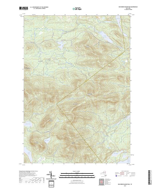
2023 Map of Dun Brook Mountain
USGS Topo · Published 2023About this map
Adirondack Park Preserve lands dominate this central Adirondack landscape, where the border between Hamilton and Essex counties cuts diagonally across the peaks. The terrain is defined by the high elevations of the Fishing Brook Range, including Dun Brook Mountain and Fishing Brook Mountain. Water shapes the lowlands, from the Essex Chain Lakes and Catlin Lake in the east to the remote Tirrel Pond and Wolf Pond to the south. Modern trail networks like the Northville Lake Placid Trl and the Deer Pond Loop Trl provide access through the dense forests, following the natural corridors established by the West Branch Goodnow River and numerous mountain brooks. This contemporary survey highlights the protected status of the wilderness, marking a landscape largely preserved from development and oriented toward back-country recreation.
Find a feature on this map
40 named features on this map. Tap any name to fly to it.
Don’t see what you’re looking for? This feature index may not catch every label — zoom into the map to look around manually.
Map Details
Editions of this 2023 Dun Brook Mountain Map
This is the sole edition of this map. No revisions or reprints were ever made.
Other maps of this area

1898 · Newcomb
USGS Topo · 1:62,500

1901 · Newcomb
USGS Topo · 1:62,500

1903 · Blue Mountain
USGS Topo · 1:62,500

1904 · Santanoni
USGS Topo · 1:62,500

1904 · Long Lake
USGS Topo · 1:62,500

1948 · Ogdensburg
USGS Topo · 1:250,000

1950 · Utica
USGS Topo · 1:250,000

1951 · Ogdensburg
USGS Topo · 1:250,000

1953 · Ogdensburg
USGS Topo · 1:250,000

1953 · Santanoni
USGS Topo · 1:62,500