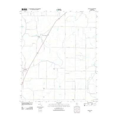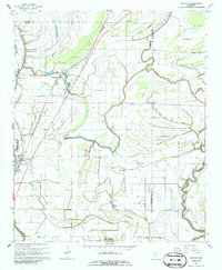
1967 Map of Duncan
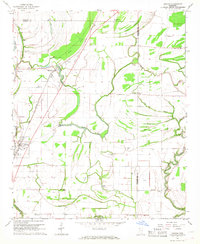
USGS Topo · Published 1986About this map
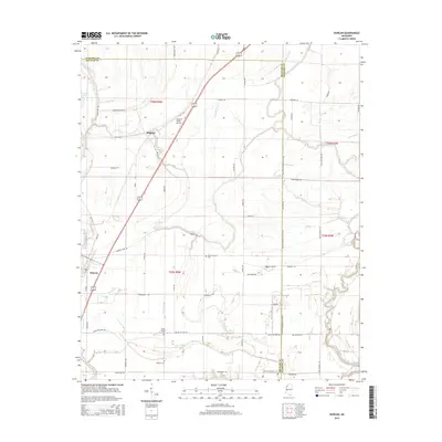
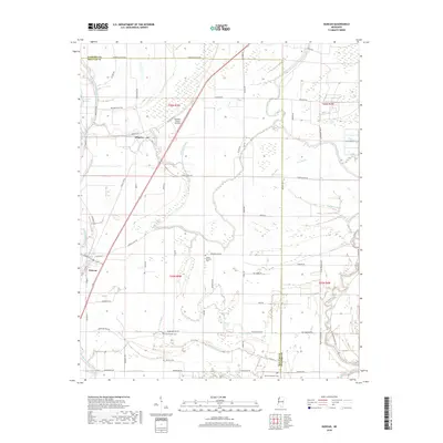
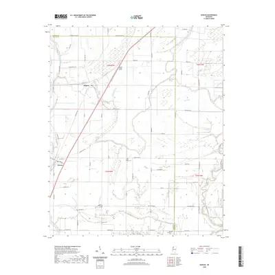
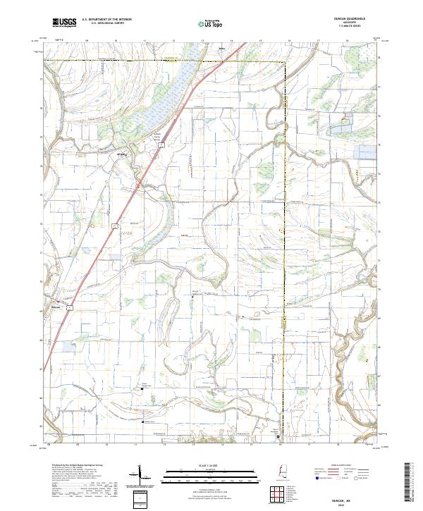
The low-lying Mississippi Delta landscape between Alligator and Duncan is defined by a dense network of meandering waterways and scattered rural communities in the late 1960s. The Illinois Central railroad serves as a central artery for these settlements, flanked by a complex drainage system including the Hushpuckena River, Pecan Bayou, and the Big Sunflower River. This area is notable for its high density of local institutions, with numerous country churches like Mt Moriah Ch and Niland Chapel serving the surrounding agricultural lands.
Find a feature on this map
42 named features on this map. Tap any name to fly to it.
Don’t see what you’re looking for? This feature index may not catch every label — zoom into the map to look around manually.
Map Details
Editions of this 1967 Duncan Map
2 editions found
Historical Maps of Duncan Through Time
6 maps found