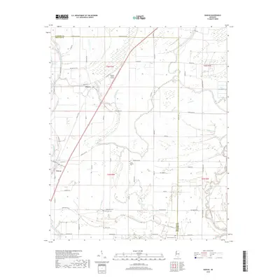
2018 Map of Duncan
USGS Topo · Published 2018About this map
Duncan and Alligator serve as the primary hubs in this agricultural landscape along the Bolivar and Coahoma county line. The map reveals a complex network of waterways, where the Hushpuckena River and the Big Sunflower River wind through the Delta lowlands. The presence of numerous bayous, including Alligator Bayou, Harris Bayou, and Turkey Bayou, illustrates the natural drainage patterns of this fertile region. Transportation is defined by a grid of rural roads such as Booga Bottom Rd and the corridor of Old US Hwy 61.
Find a feature on this map
72 named features on this map. Tap any name to fly to it.
Don’t see what you’re looking for? This feature index may not catch every label — zoom into the map to look around manually.
Map Details
Editions of this 2018 Duncan Map
This is the sole edition of this map. No revisions or reprints were ever made.
Other maps of this area

1930 · Mellwood
USGS Topo · 1:62,500

1931 · Drew
USGS Topo · 1:48,000

1935 · Clarksdale
USGS Topo · 1:62,500

1935 · Mound Bayou
USGS Topo · 1:62,500

1939 · Pace
USGS Topo · 1:62,500

1939 · Clarksdale
USGS Topo · 1:62,500

1939 · Mellwood
USGS Topo · 1:62,500

1948 · Helena
USGS Topo · 1:250,000

1950 · Helena
USGS Topo · 1:250,000

1953 · Greenwood
USGS Topo · 1:250,000