
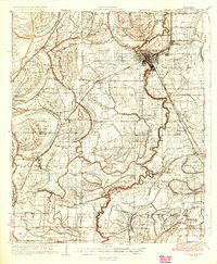
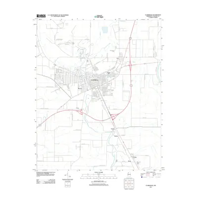
1939 Map of Clarksdale
USGS Topo · Published 1943About this map
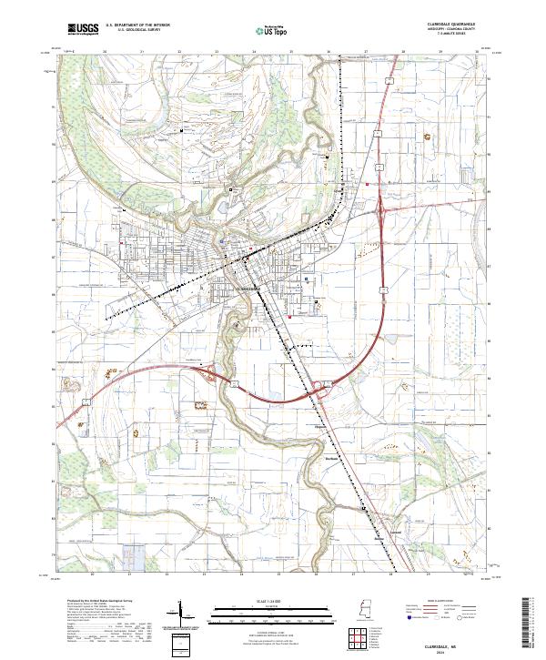
Clarksdale anchors this Delta landscape, situated at a major bend in the Sunflower River. The surrounding territory is defined by an intricate network of waterways like Cassidy Bayou and Harris Bayou, reflecting the heavy drainage efforts required for the region's agricultural development. The Yazoo and Mississippi Valley railroad serves as the primary artery for local commerce, connecting rural stops such as Beverly Davenport Sta and Hopson.
Find a feature on this map
87 named features on this map. Tap any name to fly to it.
Don’t see what you’re looking for? This feature index may not catch every label — zoom into the map to look around manually.
Map Details
Editions of this 1939 Clarksdale Map
This is the sole edition of this map. No revisions or reprints were ever made.
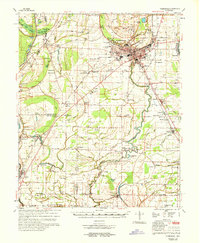
Historical Maps of Clarksdale Through Time
11 maps found
1935 Clarksdale
Coahoma County, MS
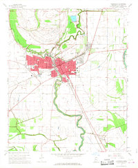
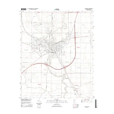
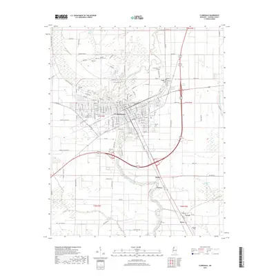
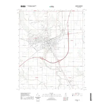
1939 Clarksdale
Coahoma County, MS
1967 Clarksdale
Coahoma County, MS
1968 Clarksdale
Coahoma County, MS

1984 Clarksdale
Coahoma County, MS
1990 Clarksdale
Coahoma County, MS
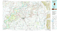
2012 Clarksdale
Coahoma County, MS
2015 Clarksdale
Coahoma County, MS
2018 Clarksdale
Coahoma County, MS
2020 Clarksdale
Coahoma County, MS
2024 Clarksdale
Coahoma County, MS