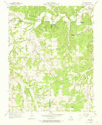
1977 Map of Duncan
USGS Topo · Published 1977About this map
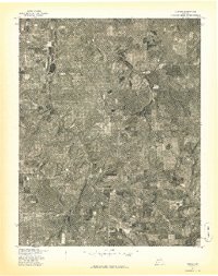
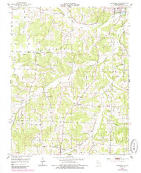
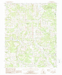
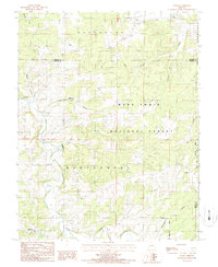
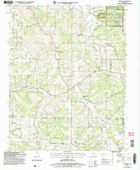
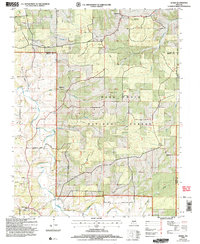
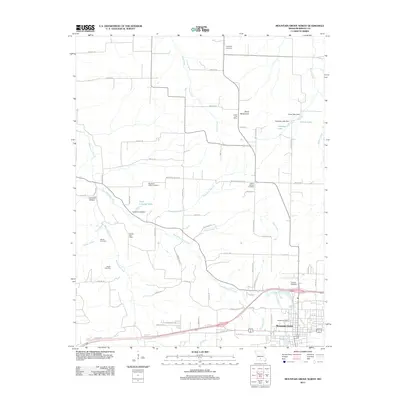
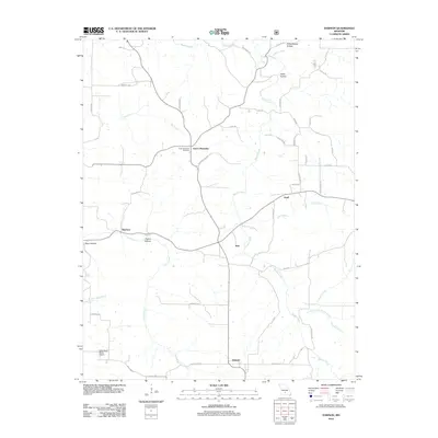
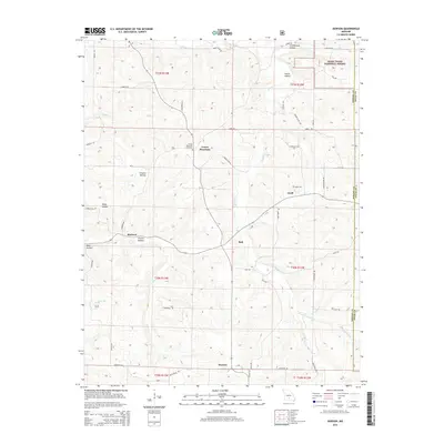
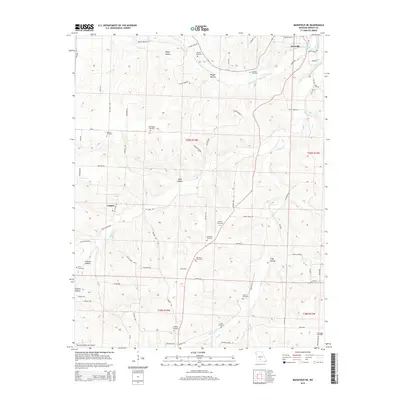
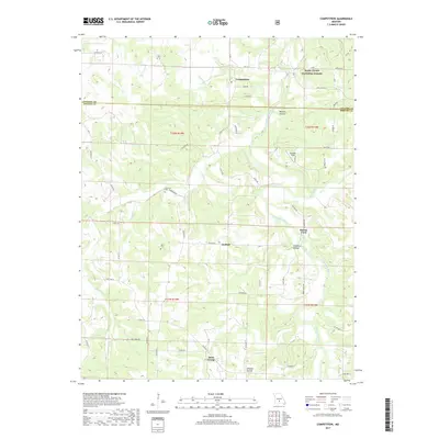
Duncan sits at the center of this 1977 orthophoto, which uses rectified aerial imagery to document the Wright County landscape in high detail. This particular survey was produced in cooperation with the Soil Conservation Service, providing a clear view of land use patterns across Missouri’s central zone. Unlike traditional topographic maps, this advance print relies on optical scanning of photographs taken in April 1977, revealing the literal footprint of the earth. The imagery highlights a distinct patchwork of cleared agricultural fields and dense timber, showing the specific boundaries of private property and the winding drainage paths that dictate the local terrain. For those tracing the history of this region, it offers an unvarnished look at the rural road network and settlement density during the late 1970s.
Find a feature on this map
1 named feature on this map. Tap any name to fly to it.
Don’t see what you’re looking for? This feature index may not catch every label — zoom into the map to look around manually.
Map Details
Editions of this 1977 Duncan Map
This is the sole edition of this map. No revisions or reprints were ever made.
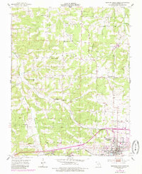
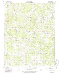
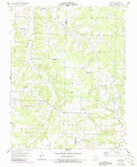
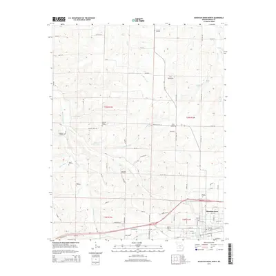
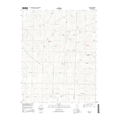
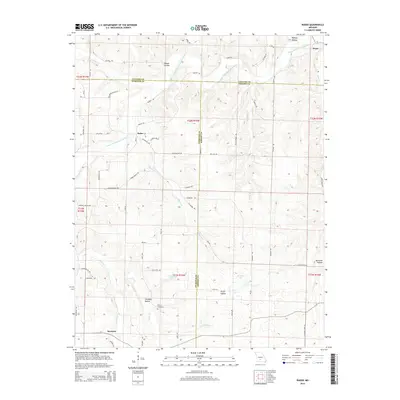
Historical Maps of Duncan Through Time
55 maps found
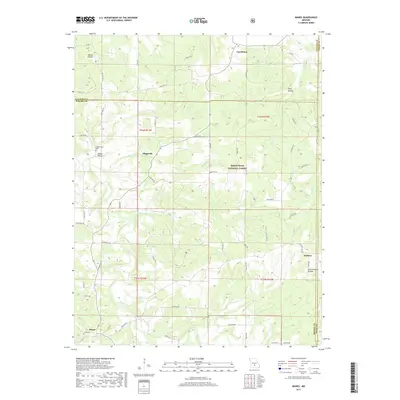
1931 Manes
Wright County, MO
1941 Manes
Wright County, MO
1943 Manes
Wright County, MO
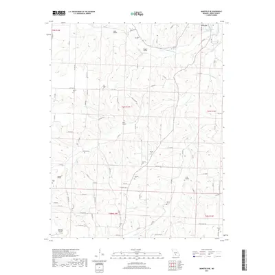
1951 Mansfield NE
Wright County, MO
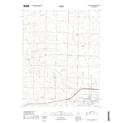
1951 Mountain Grove North
Wright County, MO
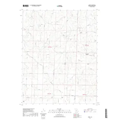
1951 Owens
Wright County, MO
1956 Duncan
Wright County, MO
1956 Rader
Wright County, MO
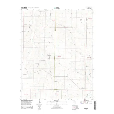
1977 Duncan
Wright County, MO
1977 Mansfield NE
Wright County, MO
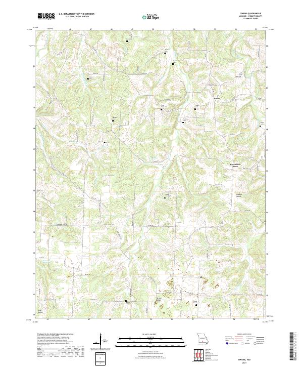
1977 Owens
Wright County, MO
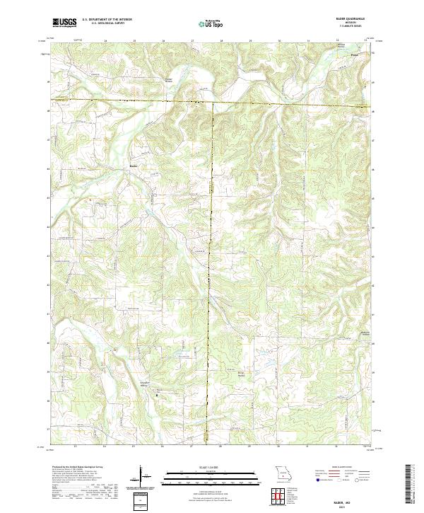
1977 Rader
Wright County, MO

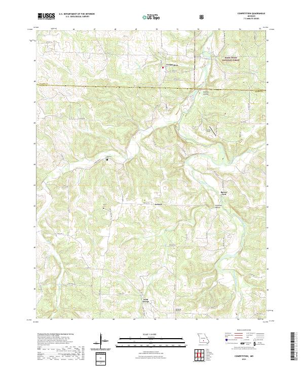
1987 Competition
Wright County, MO
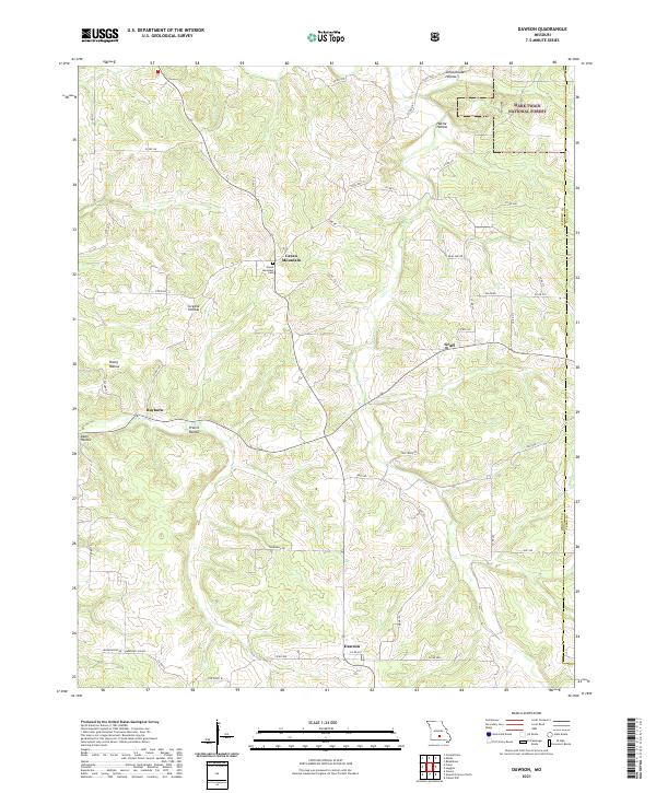
1987 Dawson
Wright County, MO
1987 Fuson
Wright County, MO
1987 Manes
Wright County, MO
2004 Competition
Wright County, MO
2004 Dawson
Wright County, MO
2004 Manes
Wright County, MO
2011 Fuson
Wright County, MO
2011 Mansfield NE
Wright County, MO
2011 Mountain Grove North
Wright County, MO
2011 Owens
Wright County, MO
2011 Rader
Wright County, MO
2012 Competition
Wright County, MO
2012 Dawson
Wright County, MO
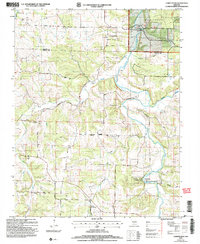
2012 Duncan
Wright County, MO
2012 Manes
Wright County, MO
2015 Competition
Wright County, MO
2015 Dawson
Wright County, MO
2015 Duncan
Wright County, MO
2015 Fuson
Wright County, MO
2015 Manes
Wright County, MO
2015 Mansfield NE
Wright County, MO
2015 Mountain Grove North
Wright County, MO
2015 Owens
Wright County, MO
2015 Rader
Wright County, MO
2017 Competition
Wright County, MO
2017 Dawson
Wright County, MO
2017 Duncan
Wright County, MO
2017 Fuson
Wright County, MO
2017 Manes
Wright County, MO
2017 Mansfield NE
Wright County, MO
2017 Mountain Grove North
Wright County, MO
2017 Owens
Wright County, MO
2017 Rader
Wright County, MO
2021 Competition
Wright County, MO
2021 Dawson
Wright County, MO
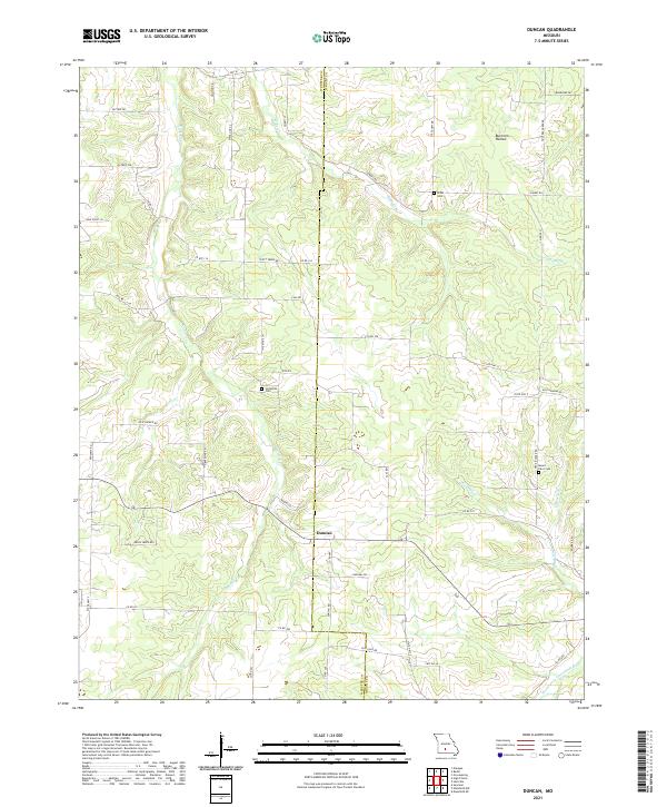
2021 Duncan
Wright County, MO
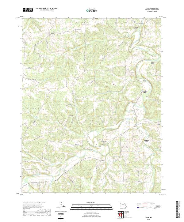
2021 Fuson
Wright County, MO
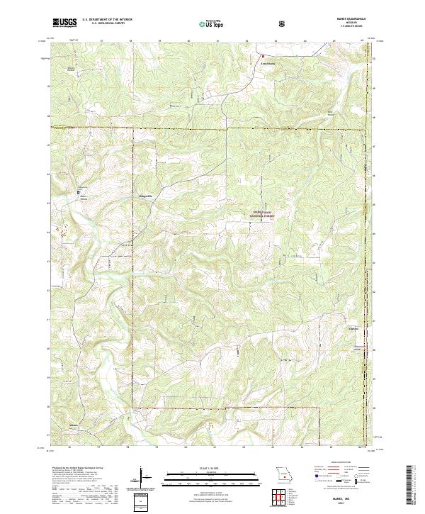
2021 Manes
Wright County, MO
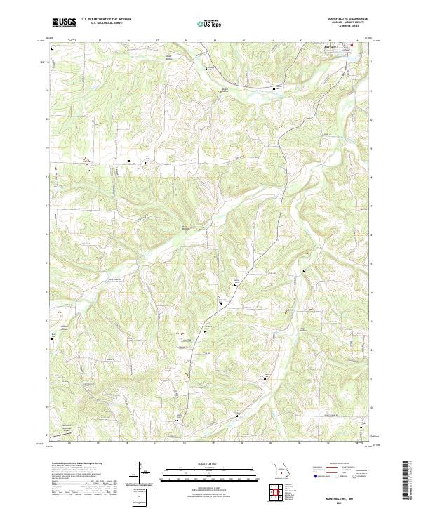
2021 Mansfield NE
Wright County, MO
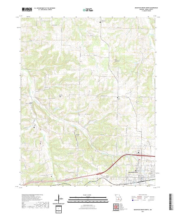
2021 Mountain Grove North
Wright County, MO
2021 Owens
Wright County, MO
2021 Rader
Wright County, MO