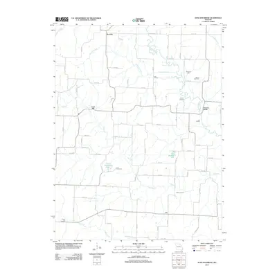
2012 Map of Duncans Bridge
USGS Topo · Published 2012About this map
Woodville and Duncans Bridge anchor this rural landscape in Macon County, where the Middle Fork Salt River meanders through northern Missouri. The terrain is defined by its watercourses and small-scale infrastructure, featuring the Wilkerson Dam and Mayes Lake Dam along the river's path. Local heritage is preserved in several family and community burial grounds, including the Dean Cemetery, Phillips Cemetery, and Hughes Cemetery, which are scattered among the agricultural plots and creek beds.
Find a feature on this map
85 named features on this map. Tap any name to fly to it.
Don’t see what you’re looking for? This feature index may not catch every label — zoom into the map to look around manually.
Map Details
Editions of this 2012 Duncans Bridge Map
This is the sole edition of this map. No revisions or reprints were ever made.
Other maps of this area

1890 · Moberly
USGS Topo · 1:125,000

1908 · Macon
USGS Topo · 1:62,500

1910 · Macon
USGS Topo · 1:62,500

1952 · Middle Grove
USGS Topo · 1:24,000

1953 · Moberly
USGS Topo · 1:250,000
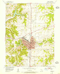
1953 · Moberly
USGS Topo · 1:24,000

1954 · Moberly
USGS Topo · 1:250,000

1957 · Moberly
USGS Topo · 1:250,000

1958 · Lentner
USGS Topo · 1:24,000
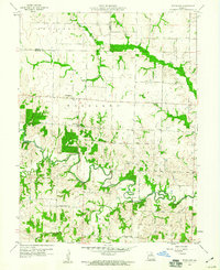
1959 · Woodlawn
USGS Topo · 1:24,000