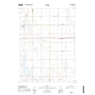
2018 Map of Duncombe
USGS Topo · Published 2018About this map
Duncombe sits at the western edge of this 2018 landscape, characterized by a structured grid of agricultural roads and wandering waterways. The township lines of t89n r27w and t88n r27w organize the terrain, while the boundary between Webster Co and Hamilton Co runs vertically through the center of the survey. Significant local history is preserved in several burial grounds, including Saint Josephs Cem north of the main settlement and Washington Cem to the south. Further south, the Ober and Scott Cem lies near Co Rd D46. The natural drainage of the region is defined by Brushy Creek and Prairie Cr, which cut through the farm plots. The small community of Highview is situated along Co Hwy D25 near the eastern margin, highlighting the scattered nature of rural crossroads during this era.
Find a feature on this map
30 named features on this map. Tap any name to fly to it.
Don’t see what you’re looking for? This feature index may not catch every label — zoom into the map to look around manually.
Map Details
Editions of this 2018 Duncombe Map
This is the sole edition of this map. No revisions or reprints were ever made.
Other maps of this area

1923 · Lehigh
USGS Topo · 1:62,500

1923 · Fort Dodge
USGS Topo · 1:62,500

1954 · Waterloo
USGS Topo · 1:250,000

1954 · Fort Dodge
USGS Topo · 1:250,000

1955 · Waterloo
USGS Topo · 1:250,000

1957 · Fort Dodge
USGS Topo · 1:250,000

1958 · Fort Dodge
USGS Topo · 1:250,000

1965 · Lehigh
USGS Topo · 1:24,000

1965 · Evanston
USGS Topo · 1:24,000

1978 · Woolstock
USGS Topo · 1:24,000