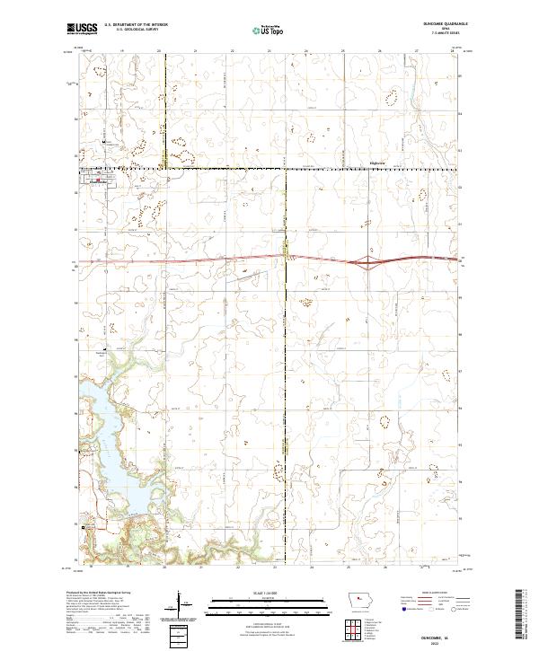
2022 Map of Duncombe
USGS Topo · Published 2022About this map
Duncombe and the surrounding agricultural landscape of eastern Webster County are defined by a precision grid of section roads and the winding path of Brushy Creek. This 2022 survey captures the community and the nearby grain-handling site of Highview, situated along the county line shared with Hamilton County. For those researching local families, the map identifies several distinct burial grounds, including Saint Josephs Cem, Washington Township Cem, and Washington Cem, along with the more uniquely named Ober and Scott Cem in the southern portion of the quadrangle. The terrain transitions from the flat upland fields to the more varied topography surrounding the creek, where recreational pathways like the Big Rock Trl and Campground Trl indicate modern land use. The presence of Stagecoach Rd north of the highway suggests older transit corridors that predated the modern highway system, providing a link between contemporary infrastructure and the area's pioneer-era routing.
Find a feature on this map
51 named features on this map. Tap any name to fly to it.
Don’t see what you’re looking for? This feature index may not catch every label — zoom into the map to look around manually.
Map Details
Editions of this 2022 Duncombe Map
This is the sole edition of this map. No revisions or reprints were ever made.
Other maps of this area

1923 · Lehigh
USGS Topo · 1:62,500

1923 · Fort Dodge
USGS Topo · 1:62,500

1954 · Waterloo
USGS Topo · 1:250,000

1954 · Fort Dodge
USGS Topo · 1:250,000

1955 · Waterloo
USGS Topo · 1:250,000

1957 · Fort Dodge
USGS Topo · 1:250,000

1958 · Fort Dodge
USGS Topo · 1:250,000

1965 · Lehigh
USGS Topo · 1:24,000

1965 · Evanston
USGS Topo · 1:24,000

1978 · Woolstock
USGS Topo · 1:24,000