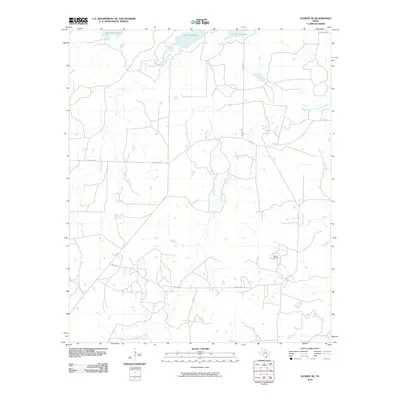
2010 Map of Dundee SE
USGS Topo · Published 2010About this map
Lake Kickapoo dominates the northern reaches of this Archer County landscape, where the waters of Kickapoo Creek and Brier Creek converge. The terrain is defined by the drainage of the Middle Fork Little Wichita River, which meanders through the central and southern portions of the quadrangle. In the southeast, the Oldham Oil Field points to the regional importance of the petroleum industry, a common sight in this part of North Texas.
Find a feature on this map
11 named features on this map. Tap any name to fly to it.
Don’t see what you’re looking for? This feature index may not catch every label — zoom into the map to look around manually.
Map Details
Editions of this 2010 Dundee SE Map
This is the sole edition of this map. No revisions or reprints were ever made.
Other maps of this area

1931 · Archer City
USGS Topo · 1:62,500

1932 · Dundee
USGS Topo · 1:62,500

1954 · Wichita Falls
USGS Topo · 1:250,000

1958 · Wichita Falls
USGS Topo · 1:250,000

1963 · Dundee
USGS Topo · 1:24,000

1963 · Dundee SW
USGS Topo · 1:24,000

1963 · Megargel
USGS Topo · 1:24,000

1964 · Bobcat Bluff
USGS Topo · 1:24,000

1964 · Dundee SE
USGS Topo · 1:24,000

1964 · Archer City West
USGS Topo · 1:24,000