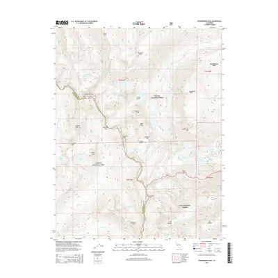
2015 Map of Dunderberg Peak
USGS Topo · Published 2015About this map
Dunderberg Mill stands as a point of interest on this high-altitude landscape, where the Sierra Nevada crest meets the convergence of three national forests. The map details the intricate hydrography of the region, including the cluster of alpine basins near Virginia Lakes Rd such as Trumbull Lake, Blue Lake, and Cooney Lake. This 2015 edition clearly delineates the complex administrative boundaries between the Toiyabe National Forest, Yosemite National Park, and Inyo National Forest. High peaks like Excelsior Mtn and Dunderberg Peak dominate the topography, while deep incisions like Lundy Canyon and Glines Canyon suggest the dramatic glacial carving of the terrain. The network of trails and passes, including Virginia Pass, highlights the connectivity through this wilderness for modern backpackers and researchers of historical backcountry routes.
Find a feature on this map
69 named features on this map. Tap any name to fly to it.
Don’t see what you’re looking for? This feature index may not catch every label — zoom into the map to look around manually.
Map Details
Editions of this 2015 Dunderberg Peak Map
This is the sole edition of this map. No revisions or reprints were ever made.
Other maps of this area

1901 · Mt. Lyell
USGS Topo · 1:125,000

1909 · Bridgeport
USGS Topo · 1:125,000

1911 · Bridgeport
USGS Topo · 1:125,000

1920 · Bridgeport
USGS Topo · 1:125,000

1947 · Mariposa
USGS Topo · 1:250,000

1948 · Walker Lake
USGS Topo · 1:250,000

1948 · Mariposa
USGS Topo · 1:250,000

1953 · Mono Craters
USGS Topo · 1:62,500

1956 · Matterhorn Peak
USGS Topo · 1:62,500

1956 · Tuolumne Meadows
USGS Topo · 1:62,500