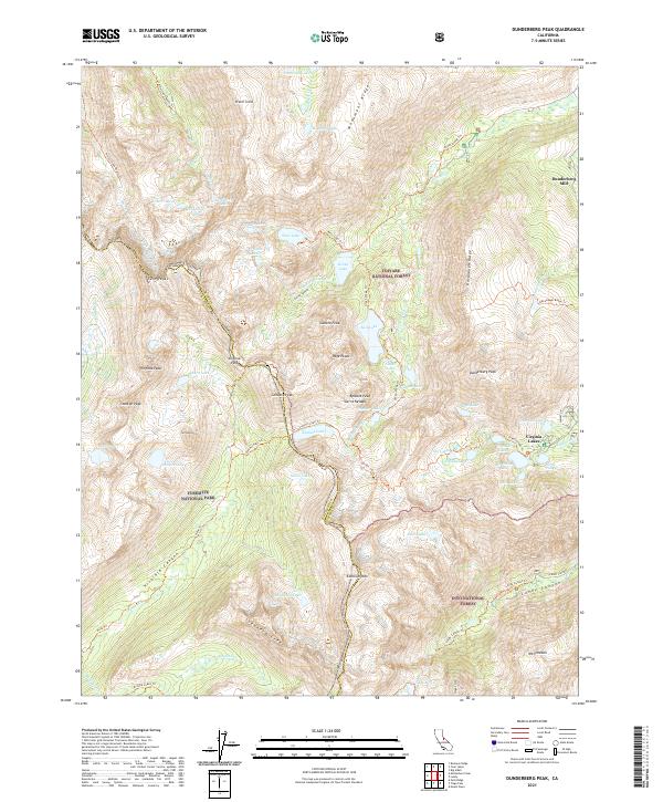
2021 Map of Dunderberg Peak
USGS Topo · Published 2021About this map
The high Sierra Nevada crest converges where Toiyabe National Forest, Inyo National Forest, and Yosemite National Park meet. This terrain is defined by extreme elevation changes, from the depths of Lundy Canyon to the summit of Dunderberg Peak. The settlement at Virginia Lakes serves as a modern jumping-off point for a network of high-altitude trails, including the Summit Pass Trl and the West Lake Trl. Historical markers of the region's industrial past are preserved through labels like Dunderberg Mill on the eastern slopes. A massive concentration of alpine water bodies, such as Hunewill Lake, Tamarack Lake, and the chain of Hoover Lakes, underscores the glacial carving that shaped this portion of the Mono and Tuolumne county border. Researchers can trace the exact drainage patterns of Mccabe Cr and Virginia Canyon as they were surveyed in the early 21st century.
Find a feature on this map
81 named features on this map. Tap any name to fly to it.
Don’t see what you’re looking for? This feature index may not catch every label — zoom into the map to look around manually.
Map Details
Editions of this 2021 Dunderberg Peak Map
This is the sole edition of this map. No revisions or reprints were ever made.
Other maps of this area

1901 · Mt. Lyell
USGS Topo · 1:125,000

1909 · Bridgeport
USGS Topo · 1:125,000

1911 · Bridgeport
USGS Topo · 1:125,000

1920 · Bridgeport
USGS Topo · 1:125,000

1947 · Mariposa
USGS Topo · 1:250,000

1948 · Walker Lake
USGS Topo · 1:250,000

1948 · Mariposa
USGS Topo · 1:250,000

1953 · Mono Craters
USGS Topo · 1:62,500

1956 · Matterhorn Peak
USGS Topo · 1:62,500

1956 · Tuolumne Meadows
USGS Topo · 1:62,500