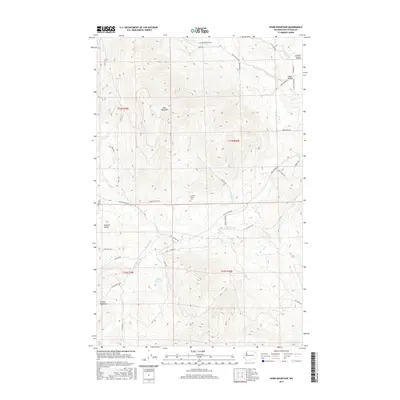
2017 Map of Dunn Mountain
USGS Topo · Published 2017About this map
Dunn Mountain dominates the central terrain of this Stevens County landscape, where the high ridges separate the Colville Valley and Swiss Valley to the north from the expansive Summit Valley to the south. This area is defined by its drainage systems and small-scale agriculture, with waters like Stensgar Cr and Blue Cr carving through the timbered foothills. In the southern half of the quadrangle, the Summit Valley Cem serves as a significant landmark for genealogists and local historians, situated near the headwaters of Cassner Cr.
Find a feature on this map
41 named features on this map. Tap any name to fly to it.
Don’t see what you’re looking for? This feature index may not catch every label — zoom into the map to look around manually.
Map Details
Editions of this 2017 Dunn Mountain Map
This is the sole edition of this map. No revisions or reprints were ever made.
Other maps of this area

1927 · Chewelah
USGS Topo · 1:125,000

1930 · Chewelah
USGS Topo · 1:125,000

1948 · Hunters
USGS Topo · 1:62,500

1950 · Hunters
USGS Topo · 1:62,500

1950 · Inchelium
USGS Topo · 1:62,500

1954 · Okanogan
USGS Topo · 1:250,000

1958 · Okanogan
USGS Topo · 1:250,000

1958 · Sandpoint
USGS Topo · 1:250,000

1963 · Sandpoint
USGS Topo · 1:250,000

1965 · Waitts Lake
USGS Topo · 1:24,000