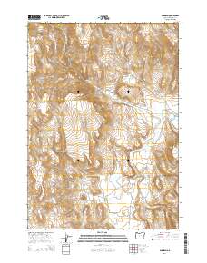
2014 Map of Dunnean
USGS Topo · Published 2014About this map
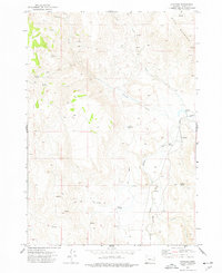
Dunnean sits in the high desert of Harney County, positioned along the South Fork Malheur River in a landscape defined by seasonal water and elevation. This 2014 survey captures the remote character of the region, where the Crane Venator Ln provides the primary north-south passage through the river valley. The map details the drainage patterns of several tributaries including Coleman Cr, Coyote Cr, and Swamp Cr, which feed into the main river channel. Local landmarks like Buck Mountain and the Carey Reservoir reflect the intersection of high terrain and managed water resources in this arid environment. Named water sources such as Rock Spring and McEwen Spring are critical features on this sheet, indicating the historical importance of reliable water for ranching and travelers in the eastern Oregon interior.
Find a feature on this map
14 named features on this map. Tap any name to fly to it.
Don’t see what you’re looking for? This feature index may not catch every label — zoom into the map to look around manually.
Map Details
Editions of this 2014 Dunnean Map
This is the sole edition of this map. No revisions or reprints were ever made.
Other maps of this area

1955 · Burns
USGS Topo · 1:250,000

1958 · Burns
USGS Topo · 1:250,000

1959 · Burns
USGS Topo · 1:250,000

1968 · Venator
USGS Topo · 1:62,500
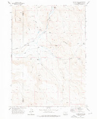
1972 · Mc Ewen Butte
USGS Topo · 1:24,000
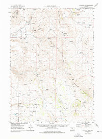
1972 · Stockade Mtn
USGS Topo · 1:62,500

1972 · Circle Bar
USGS Topo · 1:24,000
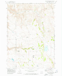
1972 · Venator Reservoir
USGS Topo · 1:24,000

1972 · Venator
USGS Topo · 1:24,000
1972 · Dunnean
USGS Topo · 1:24,000