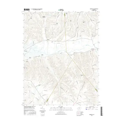
2016 Map of Dunnville
USGS Topo · Published 2016About this map
The Green River carves a central path through this section of south-central Kentucky, where the convergence of Adair, Casey, and Russell counties creates a complex landscape of ridges and hollows. Small agricultural settlements and crossroads communities like Pellyton, Neatsville, and Eunice are connected by a network of ridge-top roads such as Sanders Ridge Rd and Nubbin Ridge Rd. This 2016 survey illustrates the persistent rural character of the region, where the terrain dictates the layout of the land.
Find a feature on this map
97 named features on this map. Tap any name to fly to it.
Don’t see what you’re looking for? This feature index may not catch every label — zoom into the map to look around manually.
Map Details
Editions of this 2016 Dunnville Map
This is the sole edition of this map. No revisions or reprints were ever made.
Other maps of this area

1952 · Clementsville
USGS Topo · 1:24,000

1952 · Liberty
USGS Topo · 1:24,000

1952 · Mannsville
USGS Topo · 1:24,000

1953 · Phil
USGS Topo · 1:24,000

1953 · Montpelier
USGS Topo · 1:24,000

1953 · Dunnville
USGS Topo · 1:24,000

1954 · Knifley
USGS Topo · 1:24,000

1954 · Russell Springs
USGS Topo · 1:24,000

1954 · Eli
USGS Topo · 1:24,000

1957 · Winchester
USGS Topo · 1:250,000