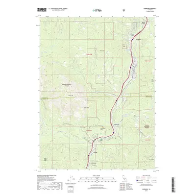
2018 Map of Dunsmuir
USGS Topo · Published 2018About this map
The Sacramento River carves a deep path through the granite spires of the Shasta National Forest in this 2018 survey. The town of Dunsmuir serves as the central hub of this canyon, anchored by the long-standing path of the Union Pacific Railroad. This corridor has historically served as a vital transportation artery, as seen in the cluster of riverside settlements including Shasta Springs, Shasta Retreat, and Sweetbriar.
Find a feature on this map
76 named features on this map. Tap any name to fly to it.
Don’t see what you’re looking for? This feature index may not catch every label — zoom into the map to look around manually.
Map Details
Editions of this 2018 Dunsmuir Map
This is the sole edition of this map. No revisions or reprints were ever made.
Other maps of this area

1886 · Shasta
USGS Topo · 1:250,000

1894 · Shasta
USGS Topo · 1:250,000

1935 · Dunsmuir
USGS Topo · 1:125,000

1948 · Weed
USGS Topo · 1:250,000

1950 · Weed
USGS Topo · 1:250,000

1954 · Shoeinhorse Mountain
USGS Topo · 1:62,500

1954 · Shasta
USGS Topo · 1:62,500

1954 · Weed
USGS Topo · 1:62,500

1954 · Dunsmuir
USGS Topo · 1:62,500

1958 · Weed
USGS Topo · 1:250,000