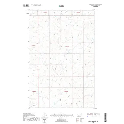
2020 Map of Duplisse Creek South
USGS Topo · Published 2020About this map
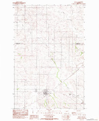
E Redwater Cr and Duplisse Cr define the drainage patterns of this rural Richland County landscape, where the high plains of eastern Montana are divided by a network of sectional boundaries and county roads. The terrain is structured by township and range lines including t24n r52e and t25n r51e, reflecting the systematic grid of the American West. The survey documents a largely unpopulated area where transportation is limited to secondary routes like Co Rd 480 and Co Rd 308. In the southern portion of the quadrangle, the N Fork Lisk Cr emerges, indicating the subtle topographic shifts between the various creek basins that have shaped the local ranching and agricultural history of the region.
Find a feature on this map
13 named features on this map. Tap any name to fly to it.
Don’t see what you’re looking for? This feature index may not catch every label — zoom into the map to look around manually.
Map Details
Editions of this 2020 Duplisse Creek South Map
This is the sole edition of this map. No revisions or reprints were ever made.
Other maps of this area

1909 · Glendive
USGS Topo · 1:250,000

1954 · Glendive
USGS Topo · 1:250,000

1957 · Glendive
USGS Topo · 1:250,000

1958 · Glendive
USGS Topo · 1:250,000

1972 · Kuester Lake
USGS Topo · 1:24,000

1981 · Sidney
USGS Topo · 1:100,000
1983 · Duplisse Creek North
USGS Topo · 1:24,000
1983 · Sullivan Coulee
USGS Topo · 1:24,000
1983 · Duplisse Creek South
USGS Topo · 1:24,000
1983 · Richey
USGS Topo · 1:24,000