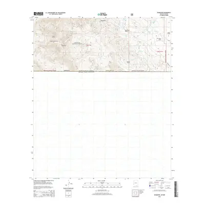
2014 Map of Duquesne
USGS Topo · Published 2014About this map
The Duquesne settlement sits at the heart of this borderlands landscape, tucked within the rugged Patagonia Mountains of southern Arizona. This 2014 survey documents the high-elevation terrain near the international boundary between the United States of America and Mexico, where the peaks of Mt Washington give way to the expansive San Rafael Valley to the east. The land is defined by its water sources, with numerous named catchments like Upper Thirteen Tank and Lower Two Tank supporting the region's ranching or wildlife needs.
Find a feature on this map
31 named features on this map. Tap any name to fly to it.
Don’t see what you’re looking for? This feature index may not catch every label — zoom into the map to look around manually.
Map Details
Editions of this 2014 Duquesne Map
This is the sole edition of this map. No revisions or reprints were ever made.
Other maps of this area

1905 · Nogales
USGS Topo · 1:125,000

1932 · Lochiel
USGS Topo · 1:62,500

1933 · Calabasas
USGS Topo · 1:62,500

1948 · Canelo Pass
USGS Topo · 1:24,000
1948 · Lochiel SE
USGS Topo · 1:24,000

1948 · Harshaw
USGS Topo · 1:24,000
1948 · Duquesne
USGS Topo · 1:24,000
1948 · Lochiel
USGS Topo · 1:62,500

1956 · Nogales
USGS Topo · 1:250,000

1958 · Nogales
USGS Topo · 1:250,000