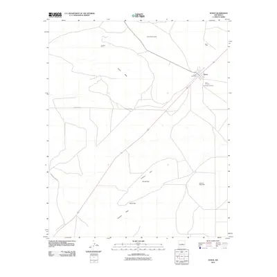
2010 Map of Duran
USGS Topo · Published 2010About this map
Duran serves as the central hub of this Torrance County landscape, situated where the high desert terrain transitions between expansive mesas and defined mountain passes. The settlement is anchored by local infrastructure including the Duran Post Office and two distinct burial sites, the Duran Cemetery and the Hindi Family Cemetery, which provide significant value for genealogical research in this part of New Mexico. The geography is dominated by the broad elevation of Duran Mesa and the Trinchera Mesa, while the Valencia Hills to the south are punctuated by named travel corridors such as Serape Pass and Roach Pass. Natural landmarks like Howard Mountain and Cerro de la Lesna define the horizon, while the presence of the Garner Mine in the northeast suggests the area's history of mineral extraction.
Find a feature on this map
15 named features on this map. Tap any name to fly to it.
Don’t see what you’re looking for? This feature index may not catch every label — zoom into the map to look around manually.
Map Details
Editions of this 2010 Duran Map
This is the sole edition of this map. No revisions or reprints were ever made.
Other maps of this area

1954 · Fort Sumner
USGS Topo · 1:250,000

1958 · Fort Sumner
USGS Topo · 1:250,000

1978 · Tejon
USGS Topo · 1:24,000

1978 · Negra SE
USGS Topo · 1:24,000

1978 · Dunlap Ranch
USGS Topo · 1:24,000

1980 · Corona
USGS Topo · 1:100,000

1981 · Camaleon Draw West
USGS Topo · 1:24,000
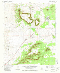
1981 · Duran
USGS Topo · 1:24,000

1981 · Camaleon Draw East
USGS Topo · 1:24,000
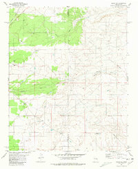
1981 · Duran NE
USGS Topo · 1:24,000