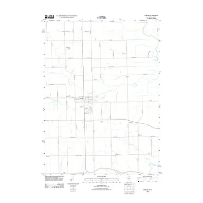
2012 Map of Durand
USGS Topo · Published 2012About this map
The village of Durand serves as the focal point of this northern Winnebago County landscape, situated near the winding branches of Otter Cr. The map reveals a deeply rooted agricultural and rural community defined by its numerous family and church burial grounds, including Saint Marys Cem, Durand Cem, and the remote Laona Cem to the north. These sites, along with others like Bethel Church Cem and Oakland Cem, offer significant reference points for genealogists tracing the legacy of local settlers.
Find a feature on this map
37 named features on this map. Tap any name to fly to it.
Don’t see what you’re looking for? This feature index may not catch every label — zoom into the map to look around manually.
Map Details
Editions of this 2012 Durand Map
This is the sole edition of this map. No revisions or reprints were ever made.
Other maps of this area

1891 · Janesville
USGS Topo · 1:62,500

1893 · Janesville
USGS Topo · 1:62,500

1893 · Brodhead
USGS Topo · 1:62,500

1918 · Rockford
USGS Topo · 1:62,500

1932 · Pecatonica
USGS Topo · 1:62,500

1936 · Pecatonica
USGS Topo · 1:62,500

1938 · Rockford
USGS Topo · 1:62,500

1954 · Rockford
USGS Topo · 1:250,000

1955 · Rockford
USGS Topo · 1:250,000

1958 · Rockford
USGS Topo · 1:250,000