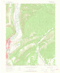
1963 Map of Durango East
USGS Topo · Published 1965About this map
The Denver and Rio Grande Western railroad corridor tracks the winding course of the Animas River, anchoring the settlement of Durango against a backdrop of dramatic vertical relief. This early 1960s landscape shows the city’s expansion northward and eastward, with institutional anchors like Fort Lewis College and Riverview Sch positioned on the rising benches above the river valley. The map documents an intricate network of water management, including the Farmers Ditch, Reid Ditch, and Florida Canal, which supported the agricultural development of the surrounding Florida Mesa.
Find a feature on this map
36 named features on this map. Tap any name to fly to it.
Don’t see what you’re looking for? This feature index may not catch every label — zoom into the map to look around manually.
Map Details
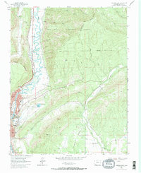
Editions of this 1963 Durango East Map
2 editions found
Other maps of this area

1898 · Durango
USGS Topo · 1:62,500

1907 · Durango
USGS Topo · 1:62,500

1908 · Ignacio
USGS Topo · 1:125,000

1908 · Durango
USGS Topo · 1:62,500

1924 · Ignacio
USGS Topo · 1:125,000

1945 · Durango
USGS Topo · 1:250,000

1953 · Durango
USGS Topo · 1:250,000

1954 · Durango
USGS Topo · 1:250,000

1961 · Durango
USGS Topo · 1:250,000

1963 · Durango
USGS Topo · 1:250,000