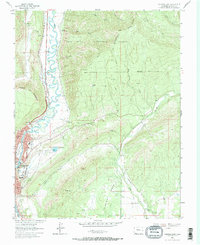
1963 Map of Durango East
USGS Topo · Published 1971About this map
The Animas River valley serves as the central artery for this 1963 survey of the area east of Durango. This period captures the town's northward expansion, featuring established institutions like Fort Lewis College, Mercy Hospital, and the Municipal Golf Course. The river corridor is defined by the narrow-gauge Denver and Rio Grande Western railroad, which tracks the western bank beneath the heights of Animas City Mountain.
Find a feature on this map
48 named features on this map. Tap any name to fly to it.
Don’t see what you’re looking for? This feature index may not catch every label — zoom into the map to look around manually.
Map Details
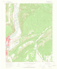
Editions of this 1963 Durango East Map
2 editions found
Other maps of this area

1898 · Durango
USGS Topo · 1:62,500

1907 · Durango
USGS Topo · 1:62,500

1908 · Ignacio
USGS Topo · 1:125,000

1908 · Durango
USGS Topo · 1:62,500

1924 · Ignacio
USGS Topo · 1:125,000

1945 · Durango
USGS Topo · 1:250,000

1953 · Durango
USGS Topo · 1:250,000

1954 · Durango
USGS Topo · 1:250,000

1961 · Durango
USGS Topo · 1:250,000

1963 · Durango
USGS Topo · 1:250,000