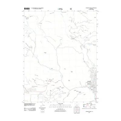
2011 Map of Durango West
USGS Topo · Published 2011About this map
The western edge of Durango is defined by a dense concentration of historical mining operations and steep terrain transitions. This 2011 survey documents a landscape where industrial heritage meets modern recreation, featuring dozens of named extractive sites such as the Victory Mine, Morning Star Mine, and the Pro Patria Tunnel Mine. These operations follow the geographic contours of Coal Gulch and Lightner Creek, illustrating the extensive underground work that once drove the local economy.
Find a feature on this map
83 named features on this map. Tap any name to fly to it.
Don’t see what you’re looking for? This feature index may not catch every label — zoom into the map to look around manually.
Map Details
Editions of this 2011 Durango West Map
This is the sole edition of this map. No revisions or reprints were ever made.
Other maps of this area

1895 · La Plata
USGS Topo · 1:62,500

1897 · La Plata
USGS Topo · 1:62,500

1898 · Durango
USGS Topo · 1:62,500

1899 · La Plata
USGS Topo · 1:62,500

1907 · Durango
USGS Topo · 1:62,500

1908 · Ignacio
USGS Topo · 1:125,000

1908 · Durango
USGS Topo · 1:62,500

1908 · La Plata
USGS Topo · 1:62,500

1913 · Red Mesa
USGS Topo · 1:62,500

1924 · Ignacio
USGS Topo · 1:125,000