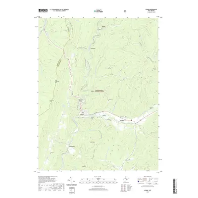
2019 Map of Durbin
USGS Topo · Published 2019About this map
Durbin serves as a central hub within the Monongahela National Forest, where the topography is defined by the high ridges of Back Allegheny Mtn and Gaudineer Knob. The landscape is intricately tied to its waterways, particularly the West Fork Greenbrier River and East Fork Greenbrier River, which converge near these historic mountain settlements. The infrastructure of the area reflects a transition from industrial rail use to recreational corridors, evidenced by the W Fork Rail-Trail and the Widney Park Rail-Trail.
Find a feature on this map
52 named features on this map. Tap any name to fly to it.
Don’t see what you’re looking for? This feature index may not catch every label — zoom into the map to look around manually.
Map Details
Editions of this 2019 Durbin Map
This is the sole edition of this map. No revisions or reprints were ever made.
Other maps of this area

1889 · Beverly
USGS Topo · 1:125,000

1892 · Beverly
USGS Topo · 1:125,000

1901 · Monterey
USGS Topo · 1:125,000

1922 · Spruce Knob
USGS Topo · 1:48,000

1922 · Cass
USGS Topo · 1:48,000

1922 · Durbin
USGS Topo · 1:48,000

1924 · Cass
USGS Topo · 1:62,500

1924 · Durbin
USGS Topo · 1:62,500

1924 · Spruce Knob
USGS Topo · 1:62,500

1941 · Monterey
USGS Topo · 1:62,500