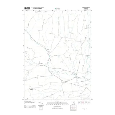
2013 Map of Durham
USGS Topo · Published 2013About this map
Catskill Cr and its tributaries, Fox Cr and Tenmile Cr, carve through the Catskill foothills, anchoring a network of historic Greene County hamlets. This modern survey reflects the enduring settlement patterns of the Catskills, where communities like Durham and Oak Hill remain clustered along the valley floors. The landscape is defined by its agricultural roots and varied topography, rising from the creek beds to prominent heights such as Cheese Hill and Mount Pisgah in the southwest corner.
Find a feature on this map
112 named features on this map. Tap any name to fly to it.
Don’t see what you’re looking for? This feature index may not catch every label — zoom into the map to look around manually.
Map Details
Editions of this 2013 Durham Map
This is the sole edition of this map. No revisions or reprints were ever made.
Other maps of this area

1893 · Durham
USGS Topo · 1:62,500

1894 · Durham
USGS Topo · 1:62,500

1898 · Schoharie
USGS Topo · 1:62,500

1900 · Schoharie
USGS Topo · 1:62,500

1900 · Berne
USGS Topo · 1:62,500

1901 · Gilboa
USGS Topo · 1:62,500

1903 · Gilboa
USGS Topo · 1:62,500

1903 · Berne
USGS Topo · 1:62,500
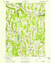
1943 · Westerlo
USGS Topo · 1:24,000
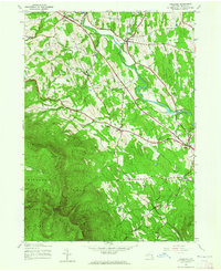
1943 · Freehold
USGS Topo · 1:24,000