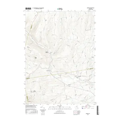
2016 Map of Durham
USGS Topo · Published 2016About this map
Catskill Creek winds through the heart of this landscape, serving as a geographic anchor for the hamlets of Cooksburg, Oak Hill, and Durham. This rural region in the eastern Catskill foothills is defined by its deep hollows and creek-side settlements. To the north, Preston Hollow and Potter Hollow sit near the triple-county intersection of Albany, Schoharie, and Greene. Local history is well-preserved through numerous burial grounds, including Durham Cem, Oak Hill Cem, and West Durham Cem, which reflect the generations of families who established these mountain communities. The terrain rises sharply toward landmarks like Mt Pisgah and Cheese Hill, with narrow roads such as Stoney-Lonesome Ln and Travis Hill Rd following the natural contours of the ridges and valleys. Farther east, the drainage of Tenmile Creek supports the settlement of Medusa, showing a network of rural routes that have remained largely consistent over the decades.
Find a feature on this map
101 named features on this map. Tap any name to fly to it.
Don’t see what you’re looking for? This feature index may not catch every label — zoom into the map to look around manually.
Map Details
Editions of this 2016 Durham Map
This is the sole edition of this map. No revisions or reprints were ever made.
Other maps of this area

1893 · Durham
USGS Topo · 1:62,500

1894 · Durham
USGS Topo · 1:62,500

1898 · Schoharie
USGS Topo · 1:62,500

1900 · Schoharie
USGS Topo · 1:62,500

1900 · Berne
USGS Topo · 1:62,500

1901 · Gilboa
USGS Topo · 1:62,500

1903 · Gilboa
USGS Topo · 1:62,500

1903 · Berne
USGS Topo · 1:62,500
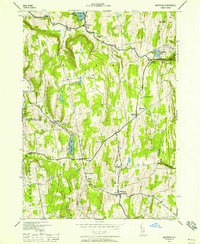
1943 · Westerlo
USGS Topo · 1:24,000
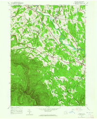
1943 · Freehold
USGS Topo · 1:24,000