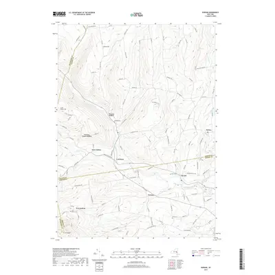
2019 Map of Durham
USGS Topo · Published 2019About this map
Catskill Creek flows through the heart of this Greene County landscape, carving a path through the northern Catskills foothills. The valley floor is punctuated by historic hamlets like Durham and Oak Hill, where the geography dictated early settlement and industry. Further north, the terrain rises toward Cheese Hill and Scott Patent Hill, defining the watershed divide between Greene and Albany counties. The map captures the complex network of local roads such as Saybrook Valley Rd and State Preserve Rd that connect isolated farmsteads to centers like Preston Hollow and Cooksburg. This 2019 survey documents a rural landscape where traditional land use persists alongside protected areas. Genealogists will find a wealth of specific data points, including Brookside Cem, Pratt Cem, and the West Durham Cem, which mark the ancestral resting places of the region's long-established families.
Find a feature on this map
104 named features on this map. Tap any name to fly to it.
Don’t see what you’re looking for? This feature index may not catch every label — zoom into the map to look around manually.
Map Details
Editions of this 2019 Durham Map
This is the sole edition of this map. No revisions or reprints were ever made.
Other maps of this area

1893 · Durham
USGS Topo · 1:62,500

1894 · Durham
USGS Topo · 1:62,500

1898 · Schoharie
USGS Topo · 1:62,500

1900 · Schoharie
USGS Topo · 1:62,500

1900 · Berne
USGS Topo · 1:62,500

1901 · Gilboa
USGS Topo · 1:62,500

1903 · Gilboa
USGS Topo · 1:62,500

1903 · Berne
USGS Topo · 1:62,500
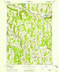
1943 · Westerlo
USGS Topo · 1:24,000
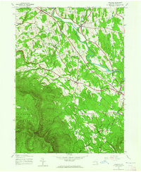
1943 · Freehold
USGS Topo · 1:24,000