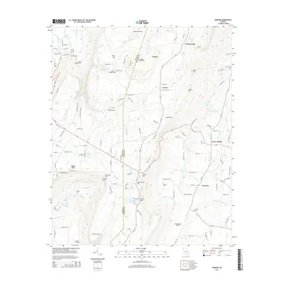
2014 Map of Durham
USGS Topo · Published 2014About this map
Lookout Mountain dominates the landscape along the Dade and Walker county line, where complex topography defines the local settlement patterns. High-elevation communities such as Durham, Ascalon, and the uniquely named Plum Nelly are situated among a series of dramatic gaps and gulches, including Newsome Gap, Stephens Gap, and Sitton Gulf. The map records numerous family-named landmarks and resting places, from Hawkins Cem near Lookout Lake to Old Lookout Cem on the eastern slopes.
Find a feature on this map
130 named features on this map. Tap any name to fly to it.
Don’t see what you’re looking for? This feature index may not catch every label — zoom into the map to look around manually.
Map Details
Editions of this 2014 Durham Map
This is the sole edition of this map. No revisions or reprints were ever made.
Other maps of this area

1886 · Ringgold
USGS Topo · 1:125,000

1886 · Stevenson
USGS Topo · 1:125,000

1892 · Ringgold
USGS Topo · 1:125,000

1892 · Stevenson
USGS Topo · 1:125,000

1895 · Stevenson
USGS Topo · 1:125,000

1935 · Durham
USGS Topo · 1:24,000

1936 · Trenton
USGS Topo · 1:24,000

1936 · Shellmound
USGS Topo · 1:24,000

1936 · Kensington
USGS Topo · 1:24,000

1936 · Hooker
USGS Topo · 1:24,000