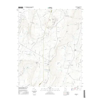
2017 Map of Durham
USGS Topo · Published 2017About this map
Lookout Mountain dominates this landscape, its high plateau dividing the Lookout Valley to the west from the Chattanooga Valley and Back Valley to the east. This 2017 survey reveals a complex network of recreational trails and access roads that mark the contemporary face of the historic community of Durham. To the north, Thompsonville sits atop the ridge, while the eastern lowlands are dotted with older settlements like Cooper Heights and Cassandra. Numerous family cemeteries are preserved across the terrain, including Hawkins Cem and Stephens Cem, providing a clear record of local lineage. The topography is defined by sharp gaps and gulches, such as Sitton Gulf and Newsome Gap, which have historically constrained and directed travel through this part of the Georgia mountains.
Find a feature on this map
148 named features on this map. Tap any name to fly to it.
Don’t see what you’re looking for? This feature index may not catch every label — zoom into the map to look around manually.
Map Details
Editions of this 2017 Durham Map
This is the sole edition of this map. No revisions or reprints were ever made.
Other maps of this area

1886 · Ringgold
USGS Topo · 1:125,000

1886 · Stevenson
USGS Topo · 1:125,000

1892 · Ringgold
USGS Topo · 1:125,000

1892 · Stevenson
USGS Topo · 1:125,000

1895 · Stevenson
USGS Topo · 1:125,000

1935 · Durham
USGS Topo · 1:24,000

1936 · Trenton
USGS Topo · 1:24,000

1936 · Shellmound
USGS Topo · 1:24,000

1936 · Kensington
USGS Topo · 1:24,000

1936 · Hooker
USGS Topo · 1:24,000