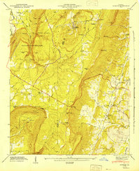
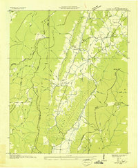
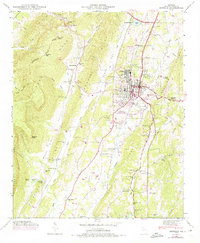
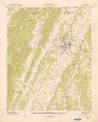
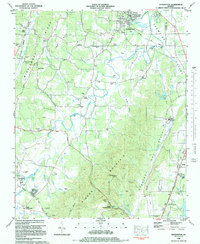
1947 Map of Durham
USGS Topo · Published 1947This historical map portrays the area of Durham in 1947, primarily covering Walker County as well as portions of Dade County. Featuring a scale of 1:24000, this map provides a highly detailed snapshot of the terrain, roads, buildings, counties, and historical landmarks in the Durham region at the time. Published in 1947, it is one of 2 known editions of this map due to revisions or reprints.
Find a feature on this map
70 named features on this map. Tap any name to fly to it.
Don’t see what you’re looking for? This feature index may not catch every label — zoom into the map to look around manually.
Map Details
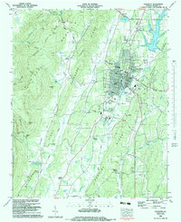
Editions of this 1947 Durham Map
2 editions found
Historical Maps of Ascalon Through Time
20 maps found
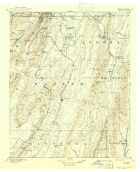
1892 Catoosa
Walker County, GA

1935 Catlett
Walker County, GA
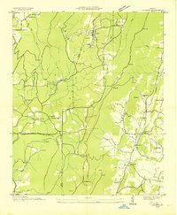
1935 Durham
Walker County, GA
1936 Cedar Grove
Walker County, GA

1936 Estelle
Walker County, GA

1936 Kensington
Walker County, GA
1946 Catlett
Walker County, GA
1946 Cedar Grove
Walker County, GA
1946 Durham
Walker County, GA
1946 Estelle
Walker County, GA
1946 Kensington
Walker County, GA
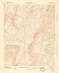
1947 Catlett
Walker County, GA
1947 Cedar Grove
Walker County, GA
1947 Durham
Walker County, GA
1947 Estelle
Walker County, GA
1982 Catlett
Walker County, GA
1982 Cedar Grove
Walker County, GA
1983 Durham
Walker County, GA
1983 Kensington
Walker County, GA
1983 Lafayette
Walker County, GA