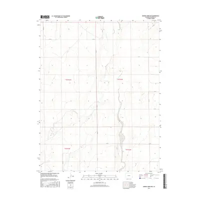
2016 Map of Durkee Creek NW
USGS Topo · Published 2016About this map
Two Butte Cr and Plum Cr carve subtle drainage patterns through this Prowers County landscape, defining the rural character of the High Plains near the Kansas border. The 2016 survey illustrates a strictly organized agricultural grid system, where section lines are traced by a network of county roads including Co Rd 28 and Co Rd 31. The topography is relatively level, marked by gentle contours that descend toward the creek beds. This map captures the modern land management of the region, showing how the Public Land Survey System has dictated the placement of transit corridors like Co Rd Aa and Co Rd U across the prairie. The minimal development recorded here reflects the enduring reliance on open acreage and seasonal watercourses in this corner of Colorado.
Find a feature on this map
17 named features on this map. Tap any name to fly to it.
Don’t see what you’re looking for? This feature index may not catch every label — zoom into the map to look around manually.
Map Details
Editions of this 2016 Durkee Creek NW Map
This is the sole edition of this map. No revisions or reprints were ever made.
Other maps of this area

1890 · Granada
USGS Topo · 1:125,000

1891 · Albany
USGS Topo · 1:125,000

1892 · Granada
USGS Topo · 1:125,000

1893 · Albany
USGS Topo · 1:125,000

1894 · Granada
USGS Topo · 1:125,000

1953 · Holly West
USGS Topo · 1:24,000

1953 · Granada
USGS Topo · 1:24,000

1953 · Holly East
USGS Topo · 1:24,000

1954 · Lamar
USGS Topo · 1:250,000

1955 · La Junta
USGS Topo · 1:250,000