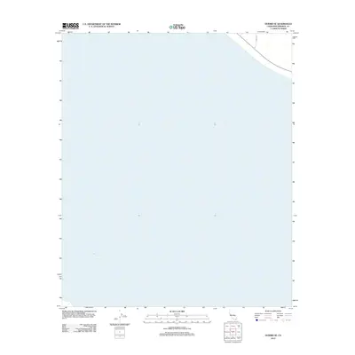
2012 Map of Durmid SE
USGS Topo · Published 2012About this map
The Salton Sea dominates this portion of Imperial County, showcasing the vast water surface of the California desert during the early 21st century. While much of the area is submerged within the basin, the northeastern corner reveals the desert shoreline transition where Range Rd and State Route 111 cut through the arid landscape. The map provides a precise look at the 2012 water levels and the primary transportation corridor that hugs the shoreline, serving as a critical link between the desert communities. This specific survey captures the sparse infrastructure of the Durmid region, a place where the proximity to the brine lake dictates the layout of the few roads and transport routes in the vicinity.
Find a feature on this map
2 named features on this map. Tap any name to fly to it.
Don’t see what you’re looking for? This feature index may not catch every label — zoom into the map to look around manually.
Map Details
Editions of this 2012 Durmid SE Map
This is the sole edition of this map. No revisions or reprints were ever made.
Other maps of this area

1940 · Kane Spring
USGS Topo · 1:62,500

1940 · Frink
USGS Topo · 1:62,500

1940 · Durmid
USGS Topo · 1:62,500

1944 · Durmid
USGS Topo · 1:62,500

1944 · Kane Spring
USGS Topo · 1:62,500

1944 · Calipatria
USGS Topo · 1:62,500

1944 · Frink
USGS Topo · 1:62,500

1954 · Salton Sea
USGS Topo · 1:250,000

1955 · Salton Sea
USGS Topo · 1:250,000

1956 · Frink NW
USGS Topo · 1:24,000