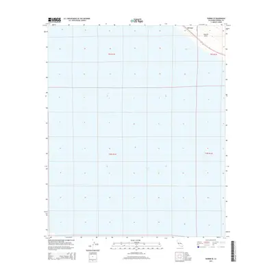
2015 Map of Durmid SE
USGS Topo · Published 2015About this map
The Salton Sea dominates the southern landscape of this 2015 survey, where the water meets the agricultural expanse of the Imperial Valley. This quadrangle illustrates a stark desert environment defined by the fluctuating shoreline of California's largest inland sea and the grid-based irrigation patterns that allow for farming in such an arid climate. In the northeastern corner, the small settlement of Bertram sits along the transit corridor where Range Rd and the regional highway system navigate the narrow strip of land between the water's edge and the rising desert floor. The map provides an essential look at the physical geography and administrative boundaries, including t9s r11e, as they appeared during a period of ongoing ecological interest in the Salton Sink.
Find a feature on this map
8 named features on this map. Tap any name to fly to it.
Don’t see what you’re looking for? This feature index may not catch every label — zoom into the map to look around manually.
Map Details
Editions of this 2015 Durmid SE Map
This is the sole edition of this map. No revisions or reprints were ever made.
Other maps of this area

1940 · Kane Spring
USGS Topo · 1:62,500

1940 · Frink
USGS Topo · 1:62,500

1940 · Durmid
USGS Topo · 1:62,500

1944 · Durmid
USGS Topo · 1:62,500

1944 · Kane Spring
USGS Topo · 1:62,500

1944 · Calipatria
USGS Topo · 1:62,500

1944 · Frink
USGS Topo · 1:62,500

1954 · Salton Sea
USGS Topo · 1:250,000

1955 · Salton Sea
USGS Topo · 1:250,000

1956 · Frink NW
USGS Topo · 1:24,000