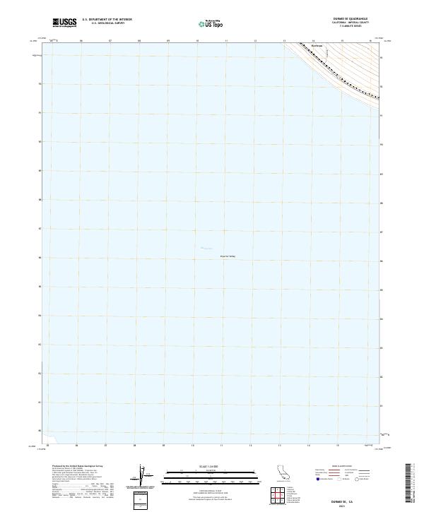
2021 Map of Durmid SE
USGS Topo · Published 2021About this map
The Salton Sea dominates this portion of the Imperial Valley, where the shoreline meets a grid of surveyed sections in the California desert. The landscape is defined by its vast low-elevation basin, with most of the land area marked by the water's expanse. Near the northeastern corner, the settlement of Bertram sits along the transport corridor that skirts the edge of the water, providing a singular point of human activity in an otherwise sparse desert environment. The presence of Range Rd and the meticulously charted township and range lines, such as t10s r11e, reveal the geometric organization of this arid region. This survey captures the relationship between the shifting shoreline and the rigid boundaries of the public land survey system in a unique corner of Imperial County.
Find a feature on this map
9 named features on this map. Tap any name to fly to it.
Don’t see what you’re looking for? This feature index may not catch every label — zoom into the map to look around manually.
Map Details
Editions of this 2021 Durmid SE Map
This is the sole edition of this map. No revisions or reprints were ever made.
Other maps of this area

1940 · Kane Spring
USGS Topo · 1:62,500

1940 · Frink
USGS Topo · 1:62,500

1940 · Durmid
USGS Topo · 1:62,500

1944 · Durmid
USGS Topo · 1:62,500

1944 · Kane Spring
USGS Topo · 1:62,500

1944 · Calipatria
USGS Topo · 1:62,500

1944 · Frink
USGS Topo · 1:62,500

1954 · Salton Sea
USGS Topo · 1:250,000

1955 · Salton Sea
USGS Topo · 1:250,000

1956 · Frink NW
USGS Topo · 1:24,000