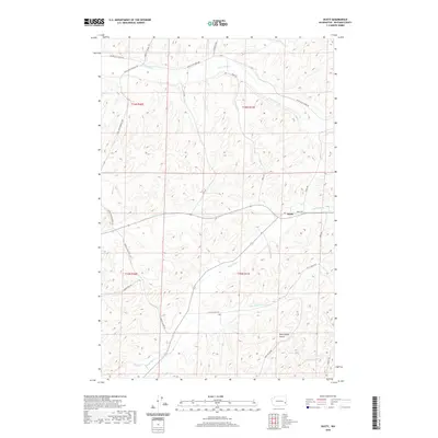
2020 Map of Dusty
USGS Topo · Published 2020About this map
Dusty serves as a small rural hub in Whitman County, situated at the intersection of several key local routes and seasonal watercourses. The landscape is defined by the complex drainage systems of the Palouse, including Union Flat Cr and Alkali Flat Cr. These creek beds and their surrounding gullies, such as Rock Spring Gulch and the smaller Little Alkali Flat Cr, dictate the movement and settlement patterns within the area.
Find a feature on this map
25 named features on this map. Tap any name to fly to it.
Don’t see what you’re looking for? This feature index may not catch every label — zoom into the map to look around manually.
Map Details
Editions of this 2020 Dusty Map
This is the sole edition of this map. No revisions or reprints were ever made.
Other maps of this area

1950 · La Crosse
USGS Topo · 1:62,500

1950 · Penawawa
USGS Topo · 1:62,500

1950 · Endicott
USGS Topo · 1:62,500

1950 · Hay
USGS Topo · 1:62,500

1952 · Hay
USGS Topo · 1:62,500

1952 · La Crosse
USGS Topo · 1:62,500

1955 · Pullman
USGS Topo · 1:250,000

1958 · Pullman
USGS Topo · 1:250,000

1981 · Dusty
USGS Topo · 1:24,000
1981 · Central Ferry
USGS Topo · 1:24,000