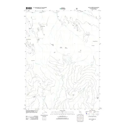
2012 Map of Dutch Creek
USGS Topo · Published 2012About this map
Nabob Ridge and the complex drainage systems of Dutch Cr and the Middle Cr define this rugged portion of Siskiyou County. The landscape is marked by a history of high-country ranching and seasonal habitation, evidenced by sites like Johnson Dairy, Morgan Ranch, and Slaughter House Flat. These labels suggest a pattern of land use focused on livestock and early resource extraction in the Klamath National Forest region.
Find a feature on this map
71 named features on this map. Tap any name to fly to it.
Don’t see what you’re looking for? This feature index may not catch every label — zoom into the map to look around manually.
Map Details
Editions of this 2012 Dutch Creek Map
This is the sole edition of this map. No revisions or reprints were ever made.
Other maps of this area

1886 · Shasta
USGS Topo · 1:250,000

1891 · Ashland
USGS Topo · 1:250,000

1893 · Ashland
USGS Topo · 1:250,000

1894 · Shasta
USGS Topo · 1:250,000

1897 · Ashland
USGS Topo · 1:250,000

1908 · Grants Pass
USGS Topo · 1:125,000

1914 · Seiad
USGS Topo · 1:125,000

1922 · Seiad
USGS Topo · 1:125,000

1932 · Yreka
USGS Topo · 1:96,000

1938 · Medford
USGS Topo · 1:125,000