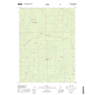
2018 Map of Dutch Creek
USGS Topo · Published 2018About this map
The Siskiyou Mountains dominate this high-elevation terrain along the California-Oregon border, where the Klamath National Forest and Rogue River National Forest meet. This survey documents the winding path of the Pacific Crest National Scenic Trail as it traverses ridges between peaks like Copper Butte, Black Mtn, and White Mtn. The hydrology of the region is defined by a dense network of tributaries including Dutch Cr, W Fork Horse Cr, and Middle Cr, which drain the steep slopes and numerous gulches. For those studying local land use, the map identifies specific high-country landmarks such as Slaughter House Flat, Onion Flat, and the Reeves Ranch Springs, alongside timber access routes like the Dogget-Middle Rd. The elevation profile is particularly sharp at Mid Creek Ridge and the transition through Seiad Low Gap.
Find a feature on this map
39 named features on this map. Tap any name to fly to it.
Don’t see what you’re looking for? This feature index may not catch every label — zoom into the map to look around manually.
Map Details
Editions of this 2018 Dutch Creek Map
This is the sole edition of this map. No revisions or reprints were ever made.
Other maps of this area

1886 · Shasta
USGS Topo · 1:250,000

1891 · Ashland
USGS Topo · 1:250,000

1893 · Ashland
USGS Topo · 1:250,000

1894 · Shasta
USGS Topo · 1:250,000

1897 · Ashland
USGS Topo · 1:250,000

1908 · Grants Pass
USGS Topo · 1:125,000

1914 · Seiad
USGS Topo · 1:125,000

1922 · Seiad
USGS Topo · 1:125,000

1932 · Yreka
USGS Topo · 1:96,000

1938 · Medford
USGS Topo · 1:125,000