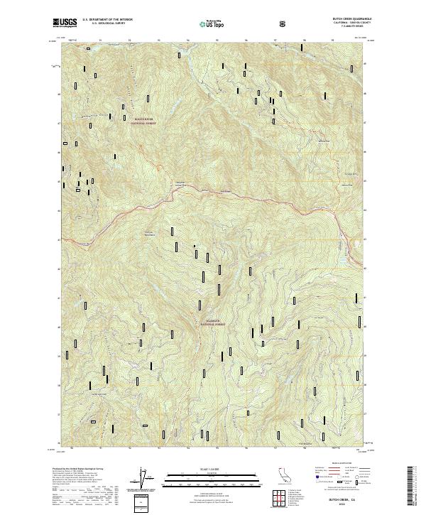
2022 Map of Dutch Creek
USGS Topo · Published 2022About this map
Siskiyou Mountains terrain dominates this high-altitude survey, where the Pacific Crest National Scenic Trl winds through the central peaks between Slaughter House Flat and Onion Flat. This landscape is defined by its drainage systems and ridges, notably the Johnny O'Neil Ridge and Mid Creek Ridge, which separate the watersheds of Horse Cr and Middle Cr. The presence of several named flats and meadows, such as Willow Flat and Fish Meadow, indicates rare level ground amidst the steep slopes of White Mtn and Scraggy Mtn. Further south, Seiad Low Gap provides a natural passage through the high country. Isolated water sources like Reeves Ranch Springs suggest the legacy of early ranching or homesteading efforts in this remote corner of the Klamath National Forest.
Find a feature on this map
40 named features on this map. Tap any name to fly to it.
Don’t see what you’re looking for? This feature index may not catch every label — zoom into the map to look around manually.
Map Details
Editions of this 2022 Dutch Creek Map
This is the sole edition of this map. No revisions or reprints were ever made.
Other maps of this area

1886 · Shasta
USGS Topo · 1:250,000

1891 · Ashland
USGS Topo · 1:250,000

1893 · Ashland
USGS Topo · 1:250,000

1894 · Shasta
USGS Topo · 1:250,000

1897 · Ashland
USGS Topo · 1:250,000

1908 · Grants Pass
USGS Topo · 1:125,000

1914 · Seiad
USGS Topo · 1:125,000

1922 · Seiad
USGS Topo · 1:125,000

1932 · Yreka
USGS Topo · 1:96,000

1938 · Medford
USGS Topo · 1:125,000