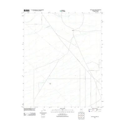
2011 Map of Dutch Flat NW
USGS Topo · Published 2011About this map
Seventeen Mile Ranch stands as a focal point of human habitation in this arid landscape of western Arizona, situated near the northern reaches of the Cow Creek drainage. The terrain is characterized by the broad, gradual slopes of Dutch Flat, a geographic feature that dictates the network of rural desert roads spanning the quadrangle. These routes, such as Alamo Crossing Rd and Geronimo Rd, follow the natural contours of the basin, reflecting the area's history of ranching and land management. The presence of specialized street names like Cattle Crossing Rd and Gold Mine Rd suggests a landscape shaped by both the livestock industry and localized prospecting efforts typical of Mohave County's rural backcountry in the early 21st century.
Find a feature on this map
13 named features on this map. Tap any name to fly to it.
Don’t see what you’re looking for? This feature index may not catch every label — zoom into the map to look around manually.
Map Details
Editions of this 2011 Dutch Flat NW Map
This is the sole edition of this map. No revisions or reprints were ever made.
Other maps of this area

1923 · Signal
USGS Topo · 1:250,000

1927 · Yucca
USGS Topo · 1:62,500

1927 · Buck Mountains
USGS Topo · 1:62,500

1929 · Buck Mountains
USGS Topo · 1:62,500

1929 · Yucca
USGS Topo · 1:62,500

1942 · Signal
USGS Topo · 1:250,000

1950 · Prescott
USGS Topo · 1:250,000

1954 · Needles
USGS Topo · 1:250,000

1954 · Prescott
USGS Topo · 1:250,000

1956 · Needles
USGS Topo · 1:250,000